Capon Lake in Hampshire County, West Virginia — The American South (Appalachia)
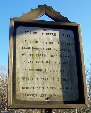
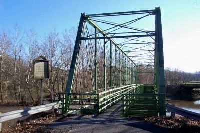
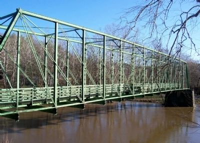
Historic Whipple Truss
Topics. This historical marker is listed in this topic list: Bridges & Viaducts. A significant historical year for this entry is 1874.
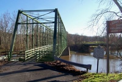
Location. This marker has been replaced by another marker nearby. It was located near 39° 9.533′ N, 78° 32.09′ W. Marker was in Capon Lake, West Virginia, in Hampshire County. Marker was on West Virginia Route 259 north of Capon Springs Road (County Route 16), on the left when traveling south. In front of the bridge mentioned in the marker. Touch for map. Marker was in this post office area: Wardensville WV 26851, United States of America. Touch for directions.
Other nearby markers. At least 8 other markers are within 8 miles of this location, measured as the crow flies. Capon Lake Whipple Truss Bridge (here, next to this marker); Capon Springs (a few steps from this marker); West Virginia (Hardy County) / Virginia (approx. 5.2 miles away); Wardensville (approx. 6.3 miles away); a different marker also named Wardensville (approx. 6.3 miles away); Veterans Memorial (approx. 6.3 miles away); Son of Man (approx. 6.7 miles away); Oriskany Sand (approx. 7˝ miles away). Touch for a list and map of all markers in Capon Lake.
Also see . . . Images of Whipple Truss Bridges. This bridge is the third image in the second row. (Submitted on December 22, 2011, by Bill Pfingsten of Bel Air, Maryland.)
Credits. This page was last revised on June 16, 2016. It was originally submitted on December 21, 2011, by Forest McDermott of Masontown, Pennsylvania. This page has been viewed 567 times since then and 8 times this year. Photos: 1, 2, 3, 4. submitted on December 21, 2011, by Forest McDermott of Masontown, Pennsylvania. • Bill Pfingsten was the editor who published this page.


