San Diego in San Diego County, California — The American West (Pacific Coastal)
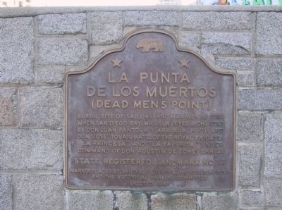
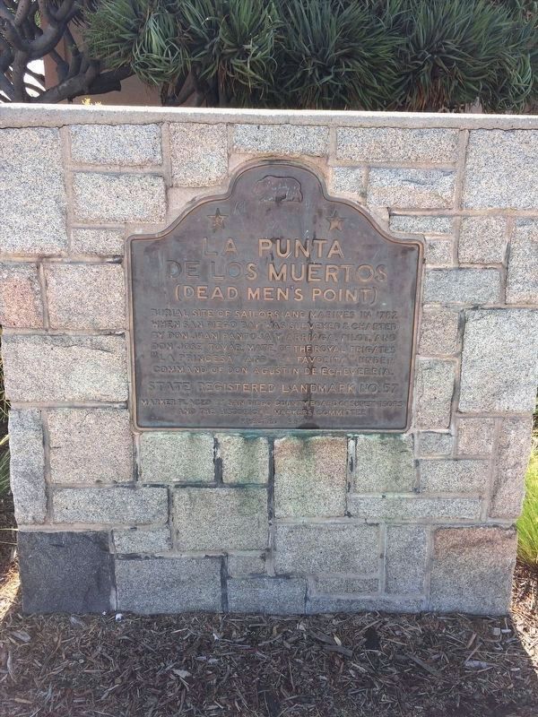
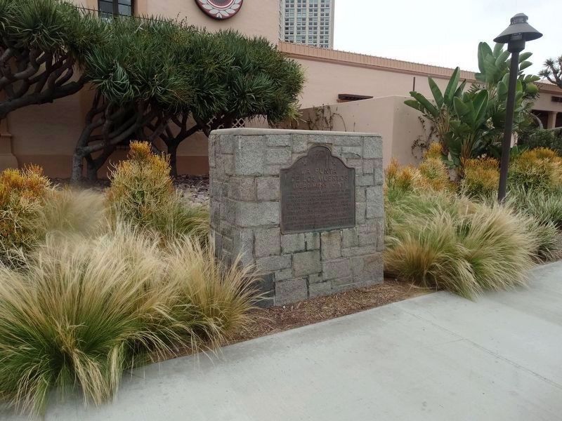
La Punta de los Muertos
(Dead Men's Point)
Erected 1954 by San Diego County Board of Supervisors and the Historical Markers Committee. (Marker Number 57.)
Topics and series. This historical marker is listed in these topic lists: Cemeteries & Burial Sites • Waterways & Vessels. In addition, it is included in the California Historical Landmarks series list. A significant historical year for this entry is 1782.
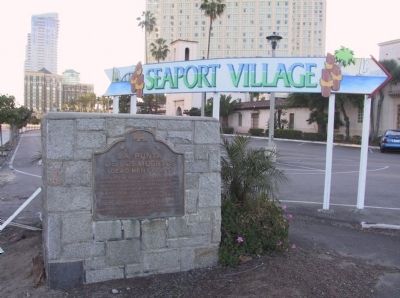
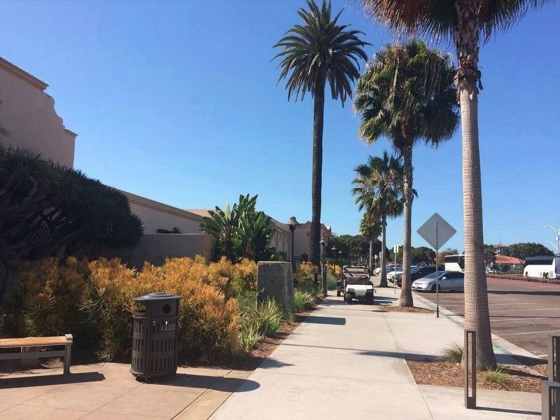
Location. 32° 42.662′ N, 117° 10.248′ W. Marker is in San Diego, California, in San Diego County. Marker is at the intersection of Pacific Highway (State Highway 163) and W Harbor Dr, on the right when traveling north on Pacific Highway. Marker is located on the southeast corner and near the Flour and Barley Restaurant. Touch for map. Marker is in this post office area: San Diego CA 92101, United States of America. Touch for directions.
Other nearby markers. At least 8 other markers are within walking distance of this marker. San Diego Barracks (about 300 feet away, measured in a direct line); Charles I.D. Looff (about 600 feet away); USS San Diego Memorial (approx. 0.2 miles away); Tuna Fleet Service, World War II (1941-1945) (approx. 0.2 miles away); United States Aircraft Carrier Memorial (approx. 0.2 miles away); Clifton A. F. Sprague, Vice Admiral, USN (approx. ¼ mile away); Lane Field Ballpark Site (approx. 0.4 miles away); Santa Fe Depot (approx. 0.4 miles away). Touch for a list and map of all markers in San Diego.
Also see . . . A Monument to an Event That Never Happened.
"The diaries of almost every California voyage, including these, tell of lost anchors. Those of Pantoja and Martínez tell that in ports, logs were buried upright on the beach where deep water was close to shore and to which ships tied up, as if docked. Those logs were called “deadmen” (muertos). The deeper water channel runs close to shore at Punta de los Muertos, where it drops off sharply to six fathoms (that is why the piers are there now), so there could have been “deadmen” buried on that beach. The Point of those deadmen could be on the map to mark their location for other ships."(Submitted on July 19, 2023, by James King of San Miguel, California.)
Credits. This page was last revised on July 20, 2023. It was originally submitted on December 29, 2011, by Michael Kindig of Elk Grove, California. This page has been viewed 1,136 times since then and 34 times this year. Photos: 1. submitted on December 30, 2011, by Michael Kindig of Elk Grove, California. 2. submitted on February 16, 2022, by Adam Margolis of Mission Viejo, California. 3. submitted on December 30, 2011, by Michael Kindig of Elk Grove, California. 4. submitted on February 16, 2022, by Adam Margolis of Mission Viejo, California. 5. submitted on September 4, 2016, by Denise Boose of Tehachapi, California. • Syd Whittle was the editor who published this page.
