Santa Ysabel in San Diego County, California — The American West (Pacific Coastal)
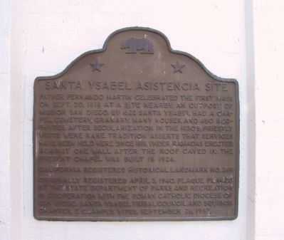
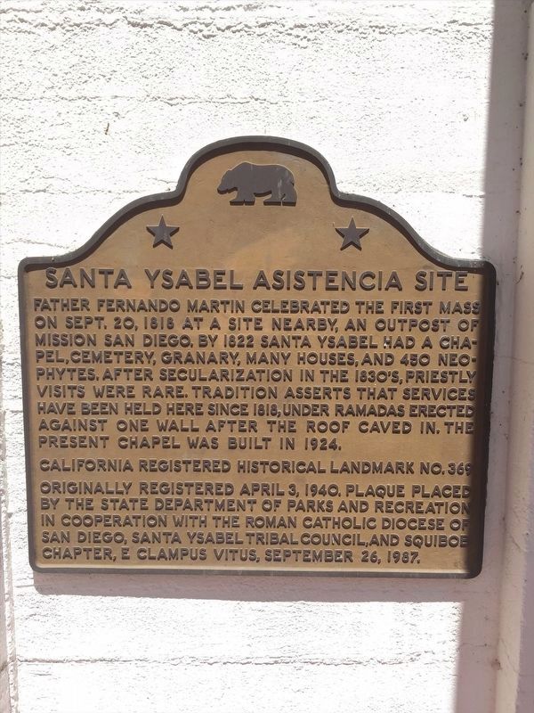
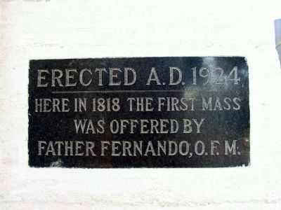
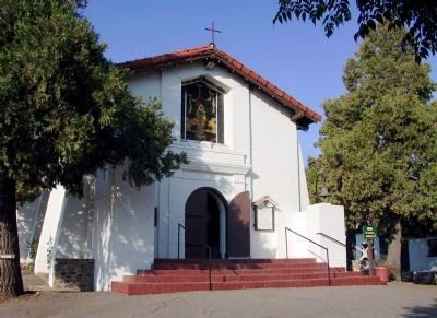
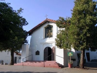
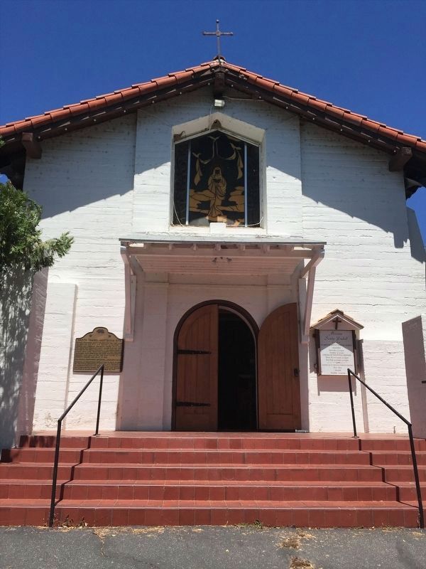
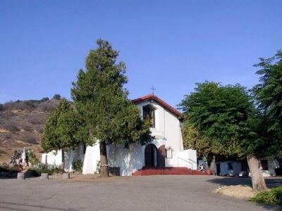
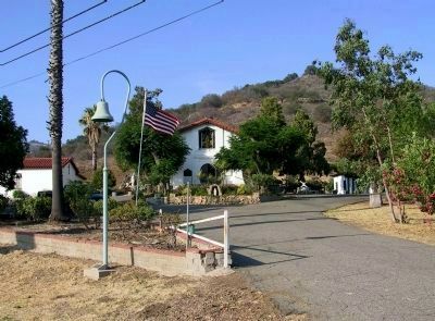
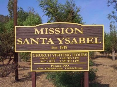
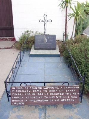
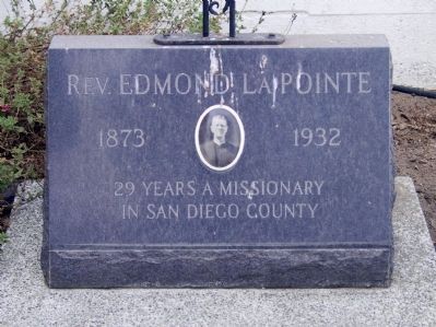
Santa Ysabel Asistencia Site
Erected 1987 by State Department of Parks and Recreation in cooperation with the Roman Catholic Dicoese of San Diego, Santa Ysabel Tribal Council, and Squibob Chapter, E Clampus Vitus. (Marker Number 369.)
Topics and series. This historical marker is listed in these topic lists: Cemeteries & Burial Sites • Churches & Religion • Native Americans. In addition, it is included in the California Historical Landmarks, and the E Clampus Vitus series lists. A significant historical date for this entry is September 20, 1818.
Location. 33° 7.848′ N, 116° 40.679′ W. Marker is in Santa Ysabel, California, in San Diego County. Marker can be reached from California Route 79 at milepost 21.8, on the right when traveling north. Touch for map. Marker is at or near this postal address: 23238 California 79, Santa Ysabel CA 92070, United States of America. Touch for directions.
Other nearby markers. At least 8 other markers are within 6 miles of this marker, measured as the crow flies. Inaja Forest Fire (approx. 2.3 miles away); Pioneer Cemetery (approx. 5.6 miles away); Bailey House (approx. 5.6 miles away); Jacoby Building (approx. 5.7 miles away); Honoring Black Pioneers of Julian (approx. 5.7 miles away); Julian Pioneer Museum (approx. 5.7 miles away); Levi~Marks Store (approx. 5.7 miles away); Julian (approx. 5.7 miles away).
Photographed By Michael Kindig, August 4, 2007
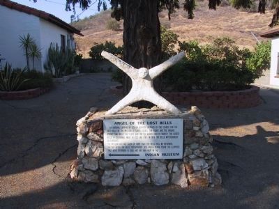
13. Angel of the Lost Bells
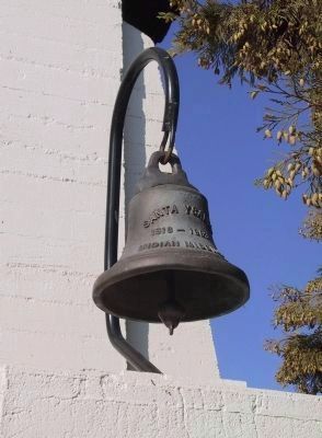
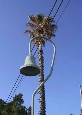
An original carving by Steven Berardi inspired by the search of the bells of the Mission of Santa Ysabel. The padre and the Indians bought two bells 150 years ago for six burro load of barley. The oldest bells in California, made in 1723 and 1767. In 1926 the bells mysteriously disappeared.
The Mission has not given up hope that the bells will be returned. The day after the bells disappeared Jose Maria Osuna found the clappers. They were returned in 1959 and are now kept in the Indian Museum.
The Mission has not given up hope that the bells will be returned. The day after the bells disappeared Jose Maria Osuna found the clappers. They were returned in 1959 and are now kept in the Indian Museum.
Photographed By Denise Boose, June 20, 2015
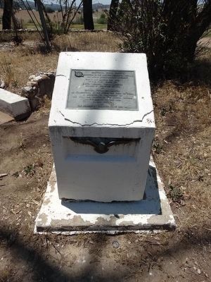
16. Santa Ysabel Asistencia Site Marker
California State Society
Daughters of the American Revolution N.S.D.A.R.
An U.S.A BICENTENNIAL PROJECT
This plaque marking the site
of the First Chapel of
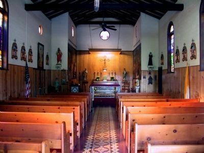
Santa Ysabel Indian Mission
Founded on Septemeber 20, 1818
By
Father Fernando Martin
as an Assistencia of the Mission San Diego De Acala
is dedicated to the memory of
the faith and courage of the Mission Fathers
and The Indians of this area
January 29, 1974
by
The Members of Districts 11, 12, and 14
Credits. This page was last revised on February 21, 2022. It was originally submitted on December 29, 2011, by Michael Kindig of Elk Grove, California. This page has been viewed 765 times since then and 34 times this year. Photos: 1. submitted on December 30, 2011, by Michael Kindig of Elk Grove, California. 2. submitted on February 16, 2022, by Adam Margolis of Mission Viejo, California. 3, 4, 5. submitted on January 4, 2012, by Michael Kindig of Elk Grove, California. 6. submitted on February 16, 2022, by Adam Margolis of Mission Viejo, California. 7, 8, 9, 10, 11, 12, 13, 14, 15. submitted on January 4, 2012, by Michael Kindig of Elk Grove, California. 16. submitted on September 7, 2015, by Denise Boose of Tehachapi, California. • Syd Whittle was the editor who published this page.
