University Hill in Columbia in Richland County, South Carolina — The American South (South Atlantic)
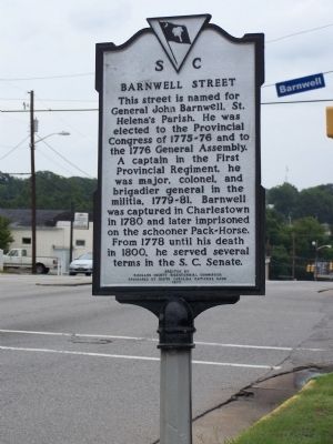
Barnwell Street
Erected 1977 by Richland County Bicentennial Commission Sponsored by South Carolina National Bank. (Marker Number 40-105.)
Topics. This historical marker is listed in these topic lists: Government & Politics • War, US Revolutionary. A significant historical year for this entry is 1776.
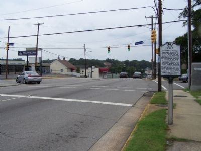
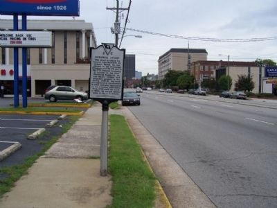
Location. 34° 0.233′ N, 81° 1.44′ W. Marker is in Columbia, South Carolina, in Richland County. It is in University Hill. Marker is at the intersection of Gervais Street (U.S. 1/378) and Barnwell Street, on the right when traveling east on Gervais Street. Touch for map. Marker is in this post office area: Columbia SC 29201, United States of America. Touch for directions.
Other nearby markers. At least 8 other markers are within walking distance of this marker. Wesley Methodist Church (within shouting distance of this marker); Alston House (about 300 feet away, measured in a direct line); Last Home of Wade Hampton (about 500 feet away); Gregg Street (about 500 feet away); Henderson Street (about 500 feet away); S.C. Education Associaton (approx. 0.2 miles away); Horry-Guignard House (approx. 0.2 miles away); Cain- Matthews- Tompkins House (approx. ¼ mile away). Touch for a list and map of all markers in Columbia.
Credits. This page was last revised on February 16, 2023. It was originally submitted on August 17, 2009, by Mike Stroud of Bluffton, South Carolina. This page has been viewed 754 times since then and 20 times this year. Last updated on January 1, 2012, by Keith S Smith of West Chester, Pennsylvania. Photos: 1, 2, 3. submitted on August 17, 2009, by Mike Stroud of Bluffton, South Carolina.


