Wheeling in Ohio County, West Virginia — The American South (Appalachia)
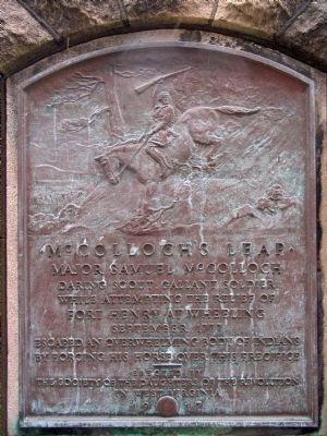
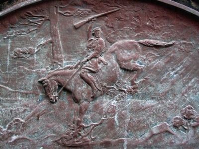
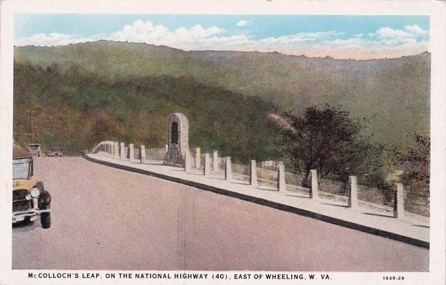
McColloch’s Leap
daring scout, gallant soldier
while attempting the relief of
Fort Henry at Wheeling
September, 1777
escaped an overwhelming body of Indians
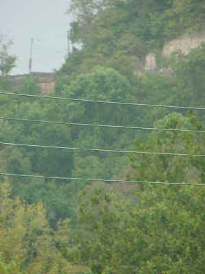
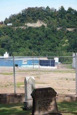
by forcing his horse over this precipice
Erected 1917 by The Society of the Daughters of the Revolution in West Virginia.
Topics. This historical marker is listed in these topic lists: Colonial Era • War, French and Indian. A significant historical month for this entry is September 1777.
Location. 40° 4.796′ N, 80° 43.351′ W. Marker is in Wheeling, West Virginia, in Ohio County. Marker is on National Road (U.S. 40) east of Stone Boulevard, on the left when traveling west. Touch for map. Marker is in this post office area: Wheeling WV 26003, United States of America. Touch for directions.
Other nearby markers. At least 5 other markers are within walking distance of this marker. The Mingo (about 300 feet away, measured in a direct line); Mount Wood Cemetery (about 300 feet away); Women's Aid Societies (approx. ¼ mile away); 612 Main Street (approx. ¼ mile away); Civil War Nurses (approx. ¼ mile away). Touch for a list and map of all markers in Wheeling.
Also see . . . Major Samuel McColloch: Historical Record and Oral History. 2004 article by Dr. Bruce D. Bonar for the West Virginia Historical Society. (Submitted on September 2, 2006.)
Additional commentary.
1. McCulloch's Leap
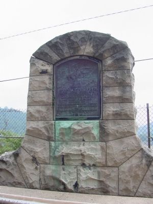
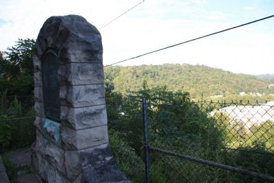
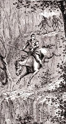
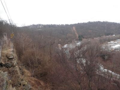
The WPA Guide, West Virginia: A Guide to the Mountain State, 1941, describes the marker and the incident that inspired it. "On the crest of Wheeling Hill is the McCulloch's Leap Marker, a tablet commemorating the feat of Major Samuel McCulloch, Indian scout and soldier, who, according to tradition, rode his horse down the precipitous 150-foot cliff into Wheeling Creek to escape a band of Indians. Leading reinforcements from his fort at Short Creek to the aid of besieged Fort Henry, McCulloch was cut off from his company and forced to ride for his life to Fort Van Meter. When Indians blocked this avenue of escape, he took refuge on the summit of this hill. Confident that they had him cornered, the Indians closed in for the kill, but McCulloch spurred his horse over the cliff and a few minutes later rode safely from the creek."
— Submitted April 9, 2013, by Allen C. Browne of Silver Spring, Maryland.
Credits. This page was last revised on February 1, 2022. It was originally submitted on September 2, 2006, by J. J. Prats of Powell, Ohio. This page has been viewed 4,377 times since then and 53 times this year. Photos: 1. submitted on April 9, 2013, by Allen C. Browne of Silver Spring, Maryland. 2. submitted on September 2, 2006, by J. J. Prats of Powell, Ohio. 3. submitted on April 9, 2013, by Allen C. Browne of Silver Spring, Maryland. 4. submitted on January 16, 2011, by Dale K. Benington of Toledo, Ohio. 5. submitted on September 2, 2006, by J. J. Prats of Powell, Ohio. 6. submitted on April 9, 2013, by Allen C. Browne of Silver Spring, Maryland. 7. submitted on January 16, 2011, by Dale K. Benington of Toledo, Ohio. 8. submitted on January 4, 2014, by Allen C. Browne of Silver Spring, Maryland. 9. submitted on January 18, 2015, by Mike Wintermantel of Pittsburgh, Pennsylvania. 10. submitted on November 25, 2015.
