Central Business District in New Orleans in Orleans Parish, Louisiana — The American South (West South Central)
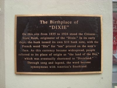
The Birthplace of “Dixie”
Topics. This historical marker is listed in these topic lists: Industry & Commerce • Settlements & Settlers. A significant historical year for this entry is 1835.
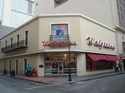
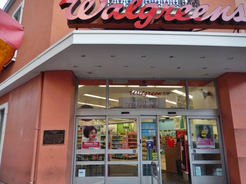
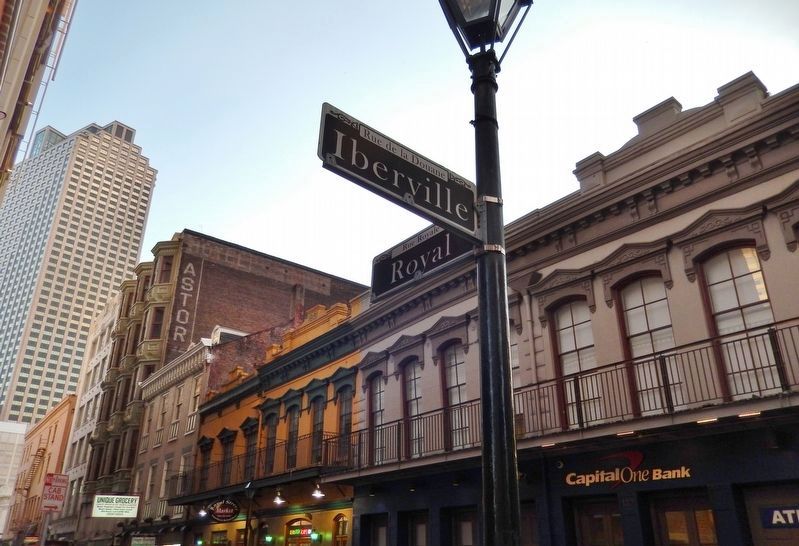
Location. 29° 57.229′ N, 90° 4.093′ W. Marker is in New Orleans, Louisiana, in Orleans Parish. It is in the Central Business District. Marker is at the intersection of Royal Street and Iberville Street on Royal Street. Touch for map. Marker is at or near this postal address: 134 Royal Street, New Orleans LA 70130, United States of America. Touch for directions.
Other nearby markers. At least 8 other markers are within walking distance of this marker. America's First Movie Theater / Vitascope Hall (about 300 feet away, measured in a direct line); Conway’s Court (about 400 feet away); Merchants Mutual Insurance Company Building (about 400 feet away); U.S. Branch Bank (about 500 feet away); Edgar Degas House (about 500 feet away); Original Old Absinthe Bar (about 600 feet away); Canal Street Under French and Spanish Rule (1718-1803) (about 700 feet away); Site of Kolly Townhouse (about 700 feet away). Touch for a list and map of all markers in New Orleans.
Credits. This page was last revised on February 12, 2023. It was originally submitted on January 6, 2012, by Barry Swackhamer of Brentwood, California. This page has been viewed 1,295 times since then and 38 times this year. Last updated on August 24, 2018, by Cosmos Mariner of Cape Canaveral, Florida. Photos: 1, 2. submitted on January 6, 2012, by Barry Swackhamer of Brentwood, California. 3, 4. submitted on August 24, 2018, by Cosmos Mariner of Cape Canaveral, Florida. • Andrew Ruppenstein was the editor who published this page.


