Newellton in Tensas Parish, Louisiana — The American South (West South Central)
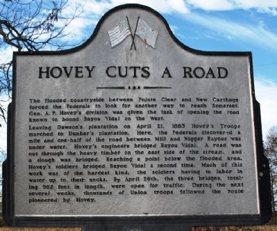
Hovey Cuts A Road
Leaving Dawson's plantation on April 21, 1863 Hovey's Troops marched to Dunbar's plantation. Here the Federals discovered a mile and one-half of the road between Mill and Nigger Bayous was under water. Hovey's engineers bridged Bayou Vidal. The road was cut through the heavy timber on the east side of the stream, and a slough was bridged. Reaching a point below the flooded area, Hovey's soldiers bridged Bayou Vidal a second time. Much of this work was of the hardest kind, the soldiers having to labor in water up to their necks. By April 26th, the three bridges, totaling 962 feet in length, were open for traffic. During the next several weeks, thousands of Union troops followed the route pioneered by Hovey.
Erected 1962 by Louisiana Civil War Centennial Commission.
Topics and series. This historical marker is listed in this topic list: War, US Civil. In addition, it is included in the Grant’s March Through Louisiana series list. A significant historical month for this entry is April 1904.
Location. 32° 10.827′ N, 91° 13.991′ W. Marker is in Newellton, Louisiana, in Tensas Parish. Marker is at the intersection of U.S. 65 and State Highway 898, on the right when traveling south on U.S. 65. Touch for map. Marker is in this post office area: Newellton LA 71357, United States of America. Touch for directions.
Other nearby markers. At least 8 other markers are within 12 miles of this marker, measured as the crow flies. Balmoral Mounds (approx. 3.4 miles away); Shackleford Church Mounds (approx. 4.4 miles away); Bridges Across Holt's Bayou and Bayou Du Rosset (approx. 4˝ miles away); Davis Plantations (approx. 4˝ miles away); Franklin Plantation (approx. 5.2 miles away); Henry Watkins Allen (approx. 5.2 miles away); Linwood Plantation (approx. 11 miles away); Winter Quarters Plantation (approx. 11.9 miles away). Touch for a list and map of all markers in Newellton.
Credits. This page was last revised on January 23, 2023. It was originally submitted on January 15, 2012, by Jeff Lovorn of Florence, Mississippi. This page has been viewed 817 times since then and 25 times this year. Photo 1. submitted on January 15, 2012, by Jeff Lovorn of Florence, Mississippi. • Craig Swain was the editor who published this page.
Editor’s want-list for this marker. A wide view photo of the marker and the surrounding area in context. • Can you help?
