Cape Charles in Northampton County, Virginia — The American South (Mid-Atlantic)
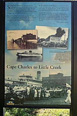
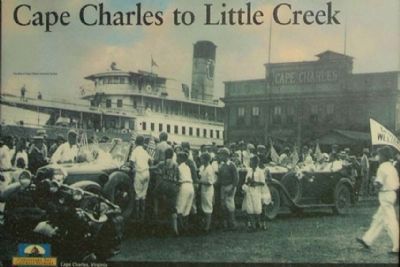
Cape Charles to Little Creek
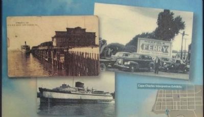
During World War II, it became necessary to add more carrying space to accommodate leave schedules — military personnel heading north on Friday and returning by early Monday. So, in the off-season, the SS Delmarva and the SS Princess Anne were taken to dry dock, cut in two, and 90 feet were added to each mid-section. The SS Pocahontas, initially 300 feet long, was renovated and 75 feet were added to her mid-section.
Around 1950, as traffic continued to increase, the ferry operation was moved to Kiptopeke Beach, VA, shortening the run by 20 minutes. The continued ferry traffic increases at Kiptopeke and a strike led to the building of the present Chesapeake Bay Bridge-Tunnel.
Erected by Chesapeake Bay Gateways Network.
Topics. This historical marker is listed in these topic lists: Industry & Commerce • Waterways & Vessels. A significant historical year for this entry is 1933.
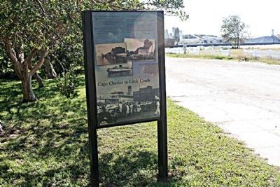
Location. 37° 16.017′ N, 76° 1.161′ W. Marker is in Cape Charles, Virginia, in Northampton County. Marker is on Mason Avenue (State Road 184) near Pine Street, on the right when traveling east. Touch for map. Marker is in this post office area: Cape Charles VA 23310, United States of America. Touch for directions.
Other nearby markers. At least 8 other markers are within walking distance of this marker. Veterans War Memorial (here, next to this marker); Cape Charles Ice & Lumber Co. (within shouting distance of this marker); The Eastern Shore Railroad (about 500 feet away, measured in a direct line); The Chesapeake Bay Impact Crater (approx. 0.2 miles away); A Changing Way of Life... (approx. ¼ mile away); Rails Overlooking the Chesapeake Bay (approx. ¼ mile away); Cape Charles Colored School (approx. 0.6 miles away); Cape Charles (approx. 0.6 miles away). Touch for a list and map of all markers in Cape Charles.
Credits. This page was last revised on June 16, 2016. It was originally submitted on February 4, 2012, by Mike Stroud of Bluffton, South Carolina. This page has been viewed 749 times since then and 12 times this year. Photos: 1, 2, 3, 4. submitted on February 4, 2012, by Mike Stroud of Bluffton, South Carolina.


