Florence in Florence County, South Carolina — The American South (South Atlantic)
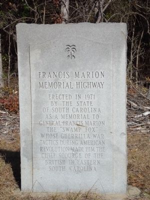
Francis Marion Memorial Highway
Erected 1971 by The State of South Carolina.
Topics. This historical marker is listed in these topic lists: Roads & Vehicles • War, US Revolutionary. A significant historical year for this entry is 1971.
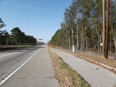
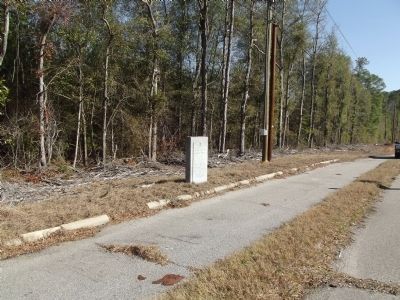
Location. 34° 11.792′ N, 79° 39.069′ W. Marker is in Florence, South Carolina, in Florence County. Marker is on Palmetto Street (U.S. 76/301), on the right when traveling west. Touch for map. Marker is in this post office area: Florence SC 29506, United States of America. Touch for directions.
Other nearby markers. At least 8 other markers are within 2 miles of this marker, measured as the crow flies. Hewn-Timber Cabins (about 400 feet away, measured in a direct line); Gregg-Wallace Farm Tenant House (approx. 0.4 miles away); Mars Bluff (approx. 0.6 miles away); Atomic Bomb Accident at Mars Bluff, March 11, 1958 (approx. 0.7 miles away); Mars Bluff Rice Growers (approx. 0.7 miles away); Mt. Zion Rosenwald School (approx. 1.3 miles away); Mt. Zion Methodist Church (approx. 1.3 miles away); Red Doe (approx. 1˝ miles away). Touch for a list and map of all markers in Florence.
Credits. This page was last revised on June 16, 2016. It was originally submitted on February 5, 2012, by Anna Inbody of Columbia, South Carolina. This page has been viewed 769 times since then and 30 times this year. Photos: 1, 2, 3. submitted on February 5, 2012, by Anna Inbody of Columbia, South Carolina. • Craig Swain was the editor who published this page.


