Muskogee in Muskogee County, Oklahoma — The American South (West South Central)
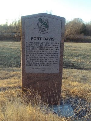
Fort Davis
Erected 1995 by Oklahoma Historical Society. (Marker Number 71.)
Topics and series. This historical marker is listed in these topic lists: Native Americans • War, US Civil. In addition, it is included in the Oklahoma Historical Society series list. A significant historical date for this entry is October 25, 1861.
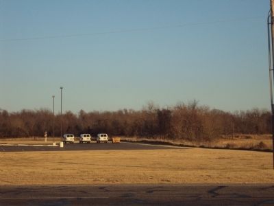
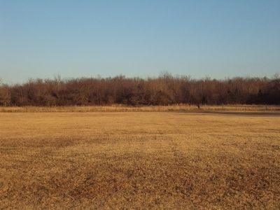
Location. 35° 47.234′ N, 95° 20.14′ W. Marker is in Muskogee, Oklahoma, in Muskogee County. Marker is on York Street (State Highway 16), on the left when traveling north. There is a nice pull off on the west side of York St. Fort Davis is located on the treeline on the hill on the other side of the street behind the church. Touch for map. Marker is in this post office area: Muskogee OK 74403, United States of America. Touch for directions.
Other nearby markers. At least 8 other markers are within 4 miles of this marker, measured as the crow flies. Milly Francis (approx. 0.6 miles away); War Memorial (approx. 1˝ miles away); Vietnam War Memorial (approx. 1˝ miles away); Memorial U.S.S. Shark (SS174) (approx. 1˝ miles away); Troops L & M, Roosevelt's Rough Riders (approx. 1˝ miles away); Severs Block (approx. 3.3 miles away); Muskogee Lodge #28 (approx. 3˝ miles away); Masonic Temple (approx. 3˝ miles away). Touch for a list and map of all markers in Muskogee.
Credits. This page was last revised on June 16, 2016. It was originally submitted on February 5, 2012, by Michael Manning of Woodlawn, Tennessee. This page has been viewed 1,024 times since then and 61 times this year. Photos: 1, 2, 3. submitted on February 5, 2012, by Michael Manning of Woodlawn, Tennessee. • Craig Swain was the editor who published this page.
Editor’s want-list for this marker. A photo of the marker and the surrounding area in context. • Can you help?


