Columbia in Richland County, South Carolina — The American South (South Atlantic)
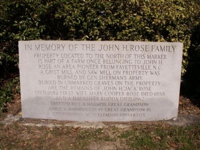
In Memory of the John H. Rose Family
Property located to the north of this marker is part of a farm once belonging to John H. Rose an area pioneer from Fayetteville, N.C. A grist mill and saw mill on property was burned by Gen. Sherman's army. Buried in unmarked graves on the property are the remains of John H. "Jack" Rose died 1882, first wife Mary Cooper Rose died 1858, and a daughter Rhoda died 1862.
Erected by L.B. Harmon, great grandson and L.A. Harmon, great-great grandson in cooperation with Clemson University.
Erected by L.B. Harmon, great grandson and L.A. Harmon, great-great grandson in cooperation with Clemson University.
Topics. This historical marker is listed in these topic lists: Agriculture • Settlements & Settlers • War, US Civil. A significant historical year for this entry is 1882.
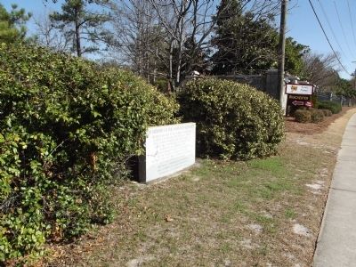
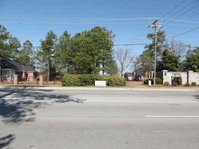
Location. 34° 8.551′ N, 80° 54.016′ W. Marker is in Columbia, South Carolina, in Richland County. Marker is on Clemson Road, on the right when traveling west. Marker is nestled among large holly bushes and is difficult to see while driving. Touch for map. Marker is in this post office area: Columbia SC 29229, United States of America. Touch for directions.
Other nearby markers. At least 8 other markers are within 7 miles of this marker, measured as the crow flies. Killian School (approx. 1.8 miles away); Killian Road Baptist Church Cemetery Confederate Soldiers Monument (approx. 2.9 miles away); In Memory of All American Veterans (approx. 4.4 miles away); Camp Johnson (approx. 5.6 miles away); Sandfield Baptist Church / Sandfield Cemetery (approx. 5.9 miles away); Dentsville School (approx. 6.3 miles away); George P. Hoffman House (approx. 6˝ miles away); Blythewood School (approx. 6.7 miles away).
Credits. This page was last revised on June 16, 2016. It was originally submitted on February 8, 2012, by Anna Inbody of Columbia, South Carolina. This page has been viewed 1,045 times since then and 46 times this year. Photos: 1, 2, 3. submitted on February 8, 2012, by Anna Inbody of Columbia, South Carolina. • Craig Swain was the editor who published this page.


