Antis Township near Bellwood in Blair County, Pennsylvania — The American Northeast (Mid-Atlantic)
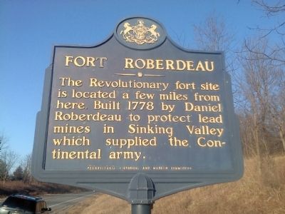
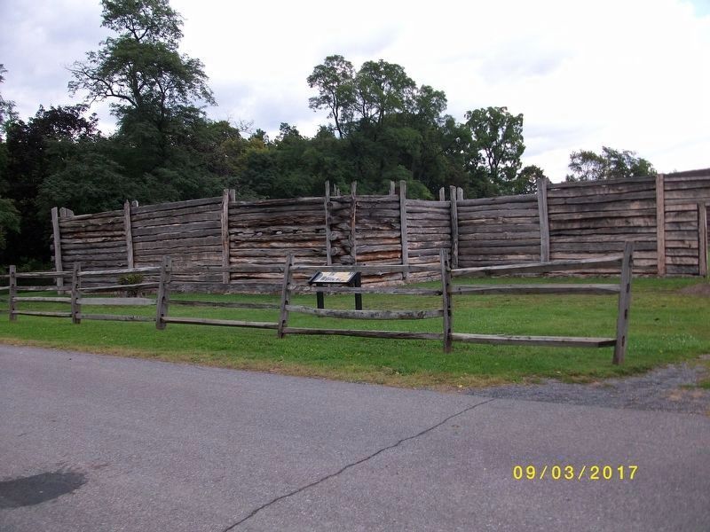
Fort Roberdeau
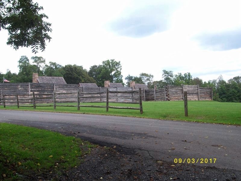
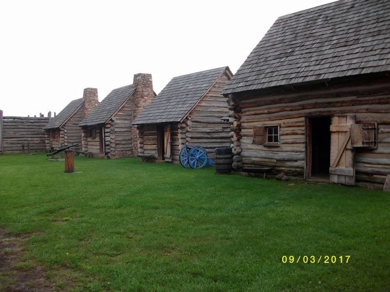
The Revolutionary fort site can be seen a few miles from here. Built 1778 by Daniel Roberdeau to protect lead mines in Sinking Valley which supplied the Continental army.
Erected 1947 by Pennsylvania Historical and Museum Commission.
Topics and series. This historical marker is listed in these topic lists: Forts and Castles • War, US Revolutionary. In addition, it is included in the Pennsylvania Historical and Museum Commission series list. A significant historical year for this entry is 1778.
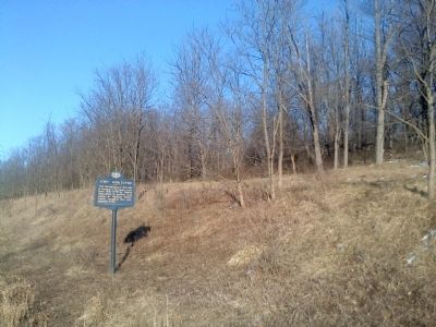
Location. 40° 36.261′ N, 78° 18.619′ W. Marker is near Bellwood, Pennsylvania, in Blair County. It is in Antis Township. Marker is on Skelp Road, 0.7 miles Old US 220 (Pennsylvania Route 865), on the right when traveling north. Touch for map. Marker is in this post office area: Altoona PA 16601, United States of America. Touch for directions.
Other nearby markers. At least 8 other markers are within 6 miles of this marker, measured as the crow flies. The Three Sisters (approx. 2.4 miles away); Conestoga Wagon & Pennsylvania Barn (approx. 2.4 miles away); The 1976 Bicentennial Reconstruction (approx. 2.4 miles away); "The Lead Mine Fort" (approx. 2.4 miles away); "The Big Spring" (approx. 5.9 miles away); Arch Springs Cemetery (approx. 5.9 miles away); First Building (approx. 5.9 miles away); Site of the Former Historic City Hotel (approx. 5.9 miles away).
Also see . . . Fort Roberdeau - Where History Lives. Fort website homepage (Submitted on February 9, 2012, by Mike Wintermantel of Pittsburgh, Pennsylvania.)
Credits. This page was last revised on February 7, 2023. It was originally submitted on February 9, 2012, by Mike Wintermantel of Pittsburgh, Pennsylvania. This page has been viewed 702 times since then and 26 times this year. Photos: 1, 2. submitted on February 9, 2012, by Mike Wintermantel of Pittsburgh, Pennsylvania. 3, 4, 5. submitted on July 23, 2018.
