Johnstown in Cambria County, Pennsylvania — The American Northeast (Mid-Atlantic)
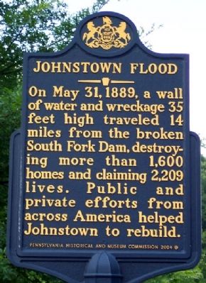
Johnstown Flood
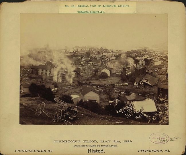
On May 31, 1889, a wall of water and wreckage 35 feet high traveled 14 miles from the broken South Fork Dam, destroying more than 1,600 homes and claiming 2,209 lives. Public and private efforts from across America helped Johnstown to rebuild.
Erected 2004 by Pennsylvania Historical and Museum Commission.
Topics and series. This historical marker is listed in these topic lists: Disasters • Waterways & Vessels. In addition, it is included in the Pennsylvania Historical and Museum Commission series list. A significant historical month for this entry is May 1777.
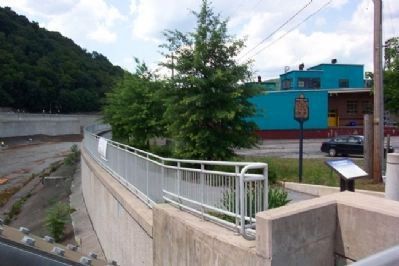
Location. 40° 19.778′ N, 78° 55.422′ W. Marker is in Johnstown, Pennsylvania, in Cambria County. Marker is at the intersection of Johns Street and the bridge over Little Conemaugh River, on the left when traveling north on Johns Street. Touch for map. Marker is in this post office area: Johnstown PA 15901, United States of America. Touch for directions.
Other nearby markers. At least 8 other markers are within walking distance of this marker. American Red Cross (within shouting distance of this marker); Johns Street Bridge (within shouting distance of this marker); Johnstown Local Flood Protection Project (about 300 feet away, measured in a direct line); Flood Prevention (about 400 feet away); Pennsylvania Railroad Stone Bridge (about 400 feet away); A Success Story (about 500 feet away); Walnut Street Bridge (approx. 0.2 miles away); Main Street and Point Stadium Ramp (approx. 0.2 miles away). Touch for a list and map of all markers in Johnstown.
Related marker. Click here for another marker that is related to this marker.
Also see . . .
1. Johnstown Flood National Memorial. (Submitted on February 15, 2012, by William Fischer, Jr. of Scranton, Pennsylvania.)
2. History of the Johnstown Flood. (Submitted on February 15, 2012, by William Fischer, Jr. of Scranton, Pennsylvania.)
Credits. This page was last revised on June 16, 2016. It was originally submitted on February 15, 2012, by William Fischer, Jr. of Scranton, Pennsylvania. This page has been viewed 1,121 times since then and 26 times this year. Photos: 1, 2. submitted on February 15, 2012, by William Fischer, Jr. of Scranton, Pennsylvania. 3. submitted on February 6, 2015.


