Almaden in San Jose in Santa Clara County, California — The American West (Pacific Coastal)
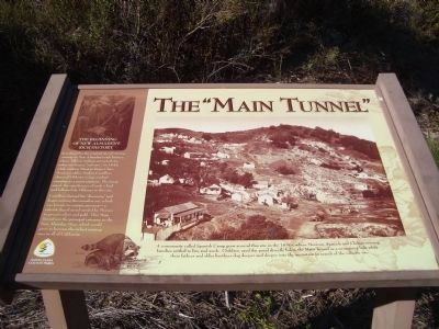
The “Main Tunnel”
[Side-bar on left:]
of New Almaden’s
Rich History
Castillero claimed his “discovery” and began mining the cinnabar ore, which was known to contain mercury – a valuable liquid metal needed by Mexico to process silver and gold. This Main Tunnel was the principal entrance to the New Almaden Mine, which would grow to become the richest mining area in all of California.
Erected by New Almaden Quicksilver County Park Association.
Topics. This historical marker is listed in these topic lists: Industry & Commerce • Native Americans • Natural Resources. A significant historical year for this entry is 1845.
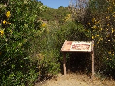
Location. 37° 10.606′ N, 121° 50.47′ W. Marker is in San Jose, California, in Santa Clara County. It is in Almaden. This marker is located in New Almaden Quicksilver County Park on the Yellow Kid Trail approximately 0.3 miles from English Camp. Touch for map. Marker is in this post office area: San Jose CA 95120, United States of America. Touch for directions.
Other nearby markers. At least 8 other markers are within walking distance of this marker. The Yellow Kid (about 400 feet away, measured in a direct line); English Camp (approx. 0.2 miles away); English Camp School (approx. 0.2 miles away); Site of English Town (approx. 0.2 miles away); Camp Mt. Madonna (approx. 0.2 miles away); The Rossi Retort (approx. ¼ mile away); Mine Hill (approx. ¼ mile away); SpanishTown (approx. ¼ mile away). Touch for a list and map of all markers in San Jose.

3. Detail from the “Main Tunnel” Marker
Caption:
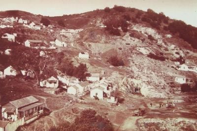
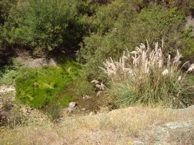
A community called Spanish Camp grew around this site in the 1850s, where Mexican, Spanish and Chilean mining families settled to live and work. Children used the pond directly below the Main Tunnel as a swimming hole while their fathers and older brothers dug deeper into the mountain in search of the valuable ore.
A community called Spanish Camp grew around this site in the 1850s, where Mexican, Spanish and Chilean mining families settled to live and work. Children used the pond directly below the Main Tunnel as a swimming hole while their fathers and older brothers dug deeper into the mountain in search of the valuable ore.
Credits. This page was last revised on February 7, 2023. It was originally submitted on February 19, 2012, by Barry Swackhamer of Brentwood, California. This page has been viewed 705 times since then and 32 times this year. Photos: 1, 2, 3, 4. submitted on February 19, 2012, by Barry Swackhamer of Brentwood, California. • Syd Whittle was the editor who published this page.


