Santa Clara in Santa Clara County, California — The American West (Pacific Coastal)
Mission Corral Site
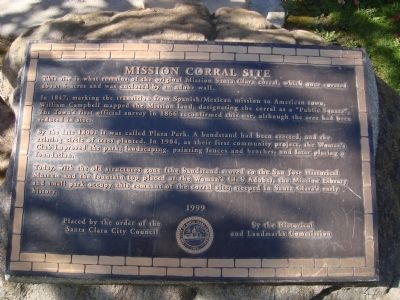
In 1847, marking the transition from Spanish/Mexican mission to American town, William Campbell mapped the Mission land, designating the corral as a “Public Square”. The Town’s first official survey in 1866 reconfirmed this use, although the area had been reduced in size.
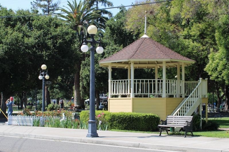
By the late 1800s it was called Plaza Park. A bandstand had been erected, and the existing circle of trees planted. In 1904, as their first community project, the Women’s Club improved the park, landscaping, painting fences and benches, and later placing a foundation.
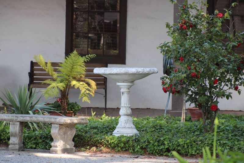
Today, with the old structures gone (the bandstand moved to the San Jose Historical Museum and the fountain top placed at the Women’s Club Adobe), the Mission Library and small park occupy this remnant of the corral site; steeped in Santa Clara’s early history.
Erected 1999 by Santa Clara Historical and Landmark Commission.
Topics. This historical marker is listed in these topic lists: Hispanic Americans • Notable Places. A significant historical year for this entry is 1847.
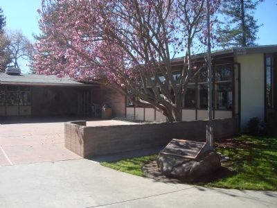
Location. 37° 20.851′ N, 121° 56.683′ W. Marker is in Santa Clara , California, in Santa Clara County. Marker is on Main Street near Lexington Street. The marker is located in Plaza Park next to the library. Touch for map. Marker is in this post office area: Santa Clara CA 95050, United States of America. Touch for directions.
Other nearby markers. At least 8 other markers are within walking distance of this marker. Dr. Henry Warburton House (about 300 feet away, measured in a direct line); Luis Arguello Home (about 300 feet away); Landrum House (about 600 feet away); Elim Community Church (about 800 feet away); Old Downtown Santa Clara (approx. 0.2 miles away); Professor John J. Montgomery (approx. 0.2 miles away); Old Adobe Wall / Olive Trees (approx. 0.2 miles away); Town Hall and Jail Site (approx. 0.2 miles away). Touch for a list and map of all markers in Santa Clara.
Credits. This page was last revised on June 26, 2023. It was originally submitted on February 23, 2012, by Barry Swackhamer of Brentwood, California. This page has been viewed 644 times since then and 20 times this year. Photos: 1, 2. submitted on February 23, 2012, by Barry Swackhamer of Brentwood, California. 3. submitted on April 16, 2022, by Joseph Alvarado of Livermore, California. 4. submitted on June 26, 2023, by Joseph Alvarado of Livermore, California. • Syd Whittle was the editor who published this page.


