Near Sabetha in Nemaha County, Kansas — The American Midwest (Upper Plains)
The Lane Trail
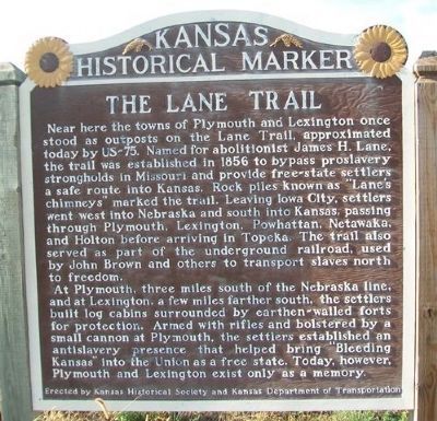
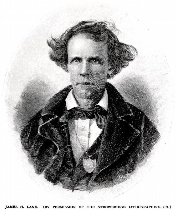
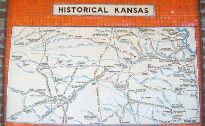
Near here the towns of Plymouth and Lexington once stood as outposts on the Lane Trail, approximated today by US-75. Named for abolitionist James H. Lane, the trail was established in 1856 to bypass proslavery strongholds in Missouri and provide free-state settlers a safe route into Kansas. Rock piles known as "Lane's chimneys" marked the trail. Leaving Iowa City, settlers went west into Nebraska and south into Kansas, passing through Plymouth, Lexington, Powhattan, Netawaka, and Holton before arriving in Topeka. The trail also served as part of the underground railroad, used by John Brown and others to transport slaves north to freedom.
At Plymouth, three miles south of the Nebraska line, and at Lexington, a few miles farther south, the settlers built log cabins surrounded by earthen-walled forts for protection. Armed with rifles and bolstered by a small cannon at Plymouth, the settlers established an antislavery presence that helped bring "Bleeding Kansas" into the Union as a free state. Today, however, Plymouth and Lexington exist only as a memory.
Erected by Kansas Historical Society and Kansas Department of Transportation. (Marker Number 32.)
Topics and series. This historical marker is listed in these topic lists: Abolition & Underground RR • Forts and Castles • Roads & Vehicles • Settlements & Settlers. In addition, it is included in the Kansas Historical Society series list. A significant historical year for this entry is 1856.
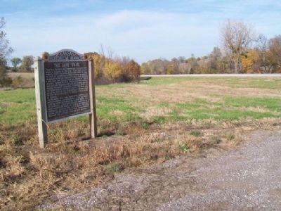
Location. 39° 55.408′ N, 95° 47.327′ W. Marker is near Sabetha, Kansas, in Nemaha County. Marker is on Acorn Road (U.S. 75) ¾ mile 280th Road (State Highway 246), on the right when traveling south. Touch for map. Marker is in this post office area: Sabetha KS 66534, United States of America. Touch for directions.
Other nearby markers. At least 2 other markers are within 12 miles of this marker, measured as the crow flies. Sabetha, Kansas (approx. 1.6 miles away); First Oil Well (approx. 11.6 miles away in Nebraska).
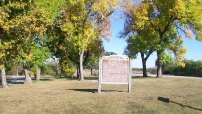
More about this marker. Marker was relocated in fall 2013. It was formerly at a rest area near intersection of US Hwy 36 and Acorn Road, about three miles west of Fairview, at 39.841615, -95.785369.
Related marker. Click here for another marker that is related to this marker.
Also see . . .
1. John Brown and the Lane Trail. (Submitted on February 24, 2012, by William Fischer, Jr. of Scranton, Pennsylvania.)
2. Lane's Trail and the Underground Railroad
. (Submitted on February 24, 2012, by William Fischer, Jr. of Scranton, Pennsylvania.)
Credits. This page was last revised on October 19, 2020. It was originally submitted on February 24, 2012, by William Fischer, Jr. of Scranton, Pennsylvania. This page has been viewed 1,619 times since then and 95 times this year. Photos: 1, 2. submitted on November 1, 2014, by William Fischer, Jr. of Scranton, Pennsylvania. 3. submitted on February 24, 2012, by William Fischer, Jr. of Scranton, Pennsylvania. 4. submitted on October 16, 2020, by Allen C. Browne of Silver Spring, Maryland. 5. submitted on February 24, 2012, by William Fischer, Jr. of Scranton, Pennsylvania.
