Waycross in Ware County, Georgia — The American South (South Atlantic)
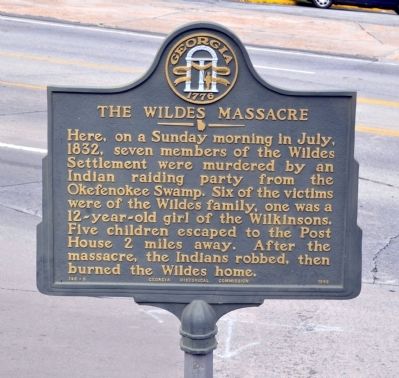
The Wildes Massacre
Erected 1958 by Georgia Historical Commission. (Marker Number 148-6.)
Topics and series. This historical marker is listed in this topic list: Wars, US Indian. In addition, it is included in the Georgia Historical Society series list. A significant historical month for this entry is July 1832.
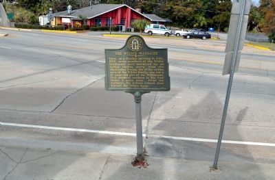
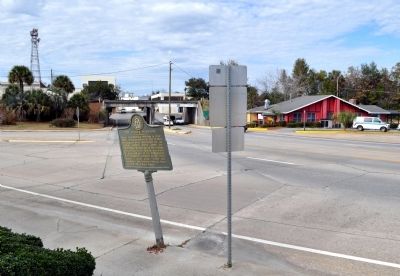
Location. 31° 12.678′ N, 82° 21.306′ W. Marker is in Waycross, Georgia, in Ware County. Marker is at the intersection of Memorial Drive (Georgia Route 4) and Screven Avenue, on the right when traveling east on Memorial Drive. Touch for map. Marker is in this post office area: Waycross GA 31501, United States of America. Touch for directions.
Other nearby markers. At least 8 other markers are within walking distance of this marker. Methodism Came To Waycross (approx. 0.2 miles away); Nancy Hart Highway (approx. 0.2 miles away); Senator Nicholas Ware (approx. 0.2 miles away); Ware County Georgia World War I Memorial (approx. ¼ mile away); Ware Court House (approx. ¼ mile away); Co. F 121st Infantry (approx. 0.3 miles away); Waycross Confederate Monument (approx. 0.3 miles away); George W. Barnes Building (approx. 0.4 miles away). Touch for a list and map of all markers in Waycross.
Credits. This page was last revised on June 16, 2016. It was originally submitted on February 28, 2012, by David Seibert of Sandy Springs, Georgia. This page has been viewed 2,321 times since then and 134 times this year. Photos: 1, 2, 3. submitted on February 28, 2012, by David Seibert of Sandy Springs, Georgia. • Craig Swain was the editor who published this page.


