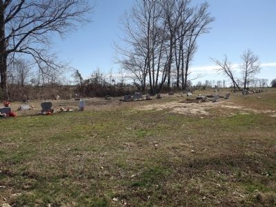
Stanton in Haywood County, Tennessee — The American South (East South Central)
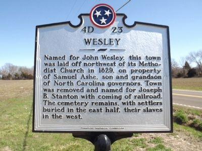
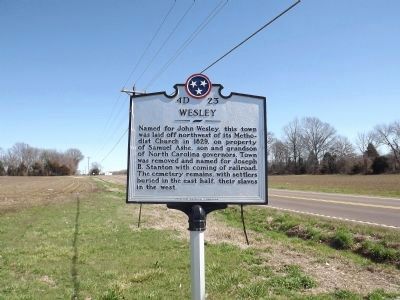
Wesley
Erected by Tennessee Historical Commission. (Marker Number 4D 23.)
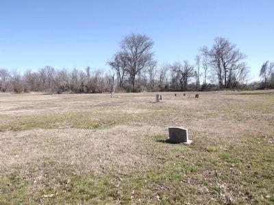
Topics and series. This historical marker is listed in these topic lists: Cemeteries & Burial Sites • Settlements & Settlers. In addition, it is included in the Tennessee Historical Commission series list. A significant historical year for this entry is 1829.
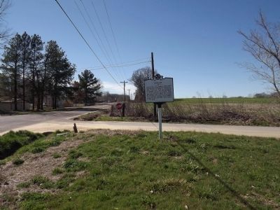
Location. 35° 27.445′ N, 89° 25.273′ W. Marker is in Stanton, Tennessee, in Haywood County. Marker is at the intersection of U.S. 70 and Wesley Road, on the right when traveling west on U.S. 70. Touch for map. Marker is in this post office area: Stanton TN 38069, United States of America. Touch for directions.
Other nearby markers. At least 8 other markers are within 7 miles of this marker, measured as the crow flies. Stanton (approx. 1.1 miles away); Stanton Masonic Lodge And School (approx. 1.1 miles away); Vineland (approx. 5˝ miles away); Richland (approx. 5˝ miles away); Charleston United Methodist Church and Cemetery (approx. 5.6 miles away); Rev. James McFerrin (approx. 5.6 miles away); Bradford's Landing (approx. 6.1 miles away); Trinity In The Fields (approx. 6.7 miles away). Touch for a list and map of all markers in Stanton.
Credits. This page was last revised on June 16, 2016. It was originally submitted on February 29, 2012, by Ken Smith of Milan, Tennessee. This page has been viewed 711 times since then and 27 times this year. Photos: 1, 2, 3, 4, 5. submitted on February 29, 2012, by Ken Smith of Milan, Tennessee. • Bernard Fisher was the editor who published this page.
