Tehachapi in Kern County, California — The American West (Pacific Coastal)
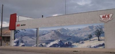
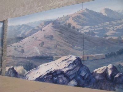
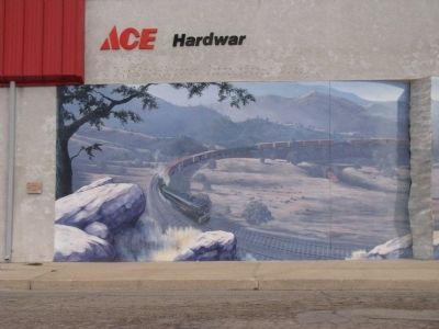
Tehachapi Loop Mural
Designed by John Pugh, painted by John Pugh and Marc Spykerbosch - 2002
Erected 2002 by Tehachapi Heritage League. (Marker Number 27.)
Topics. This historical marker is listed in these topic lists: Arts, Letters, Music • Disasters • Railroads & Streetcars. A significant historical year for this entry is 1876.
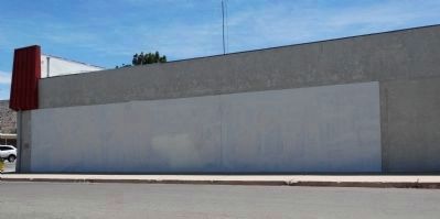
Location. 35° 7.935′ N, 118° 27.032′ W. Marker is in Tehachapi, California, in Kern County. Marker is at the intersection of Pauley Street and Tehachapi Boulevard, on the right when traveling north on Pauley Street. The marker and mural are located on the West side of the Ace Hardware Building. Touch for map. Marker is at or near this postal address: 228 W Tehachapi Blvd, Tehachapi CA 93561, United States of America. Touch for directions.
Other nearby markers. At least 8 other markers are within walking distance of this marker. Original site of the First Catholic Church in 1887 (about 400 feet away, measured in a direct line); Tehachapi Veterans Memorial (about 400 feet away); Duty~Honor~Country (about 400 feet away); Gallinger House (about 500 feet away); Odd Fellows Hall (about 500 feet away); Red Front Blacksmith Shop Mural (about 500 feet away); Southern Pacific Concrete Telephone Booth (about 700 feet away); Tehachapi Depot (approx. 0.2 miles away). Touch for a list and map of all markers in Tehachapi.
Related marker. Click here for another marker that is related to this marker. The Tehachapi Loop.
Credits. This page was last revised on October 26, 2022. It was originally submitted on March 2, 2012, by Denise Boose of Tehachapi, California. This page has been viewed 875 times since then and 19 times this year. Photos: 1, 2, 3, 4. submitted on March 2, 2012, by Denise Boose of Tehachapi, California. 5. submitted on July 29, 2014, by Denise Boose of Tehachapi, California. • Syd Whittle was the editor who published this page.
