Columbus in Platte County, Nebraska — The American Midwest (Upper Plains)
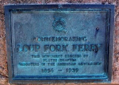
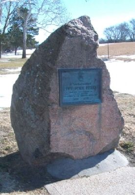
Commemorating Loup Fork Ferry
1856 -1939
Erected 1939 by Platte Chapter, Daughters of the American Revolution.
Topics and series. This historical marker is listed in this topic list: Waterways & Vessels. In addition, it is included in the Daughters of the American Revolution, and the Mormon Pioneer Trail series lists. A significant historical year for this entry is 1856.
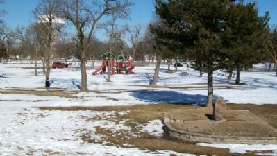
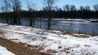
Location. 41° 25.094′ N, 97° 21.695′ W. Marker is in Columbus, Nebraska, in Platte County. Marker is in Pawnee Park, about 0.3 miles south-southwest of the intersection of 26th Avenue and 4th Street, and just north of the Loup River. Touch for map. Marker is in this post office area: Columbus NE 68601, United States of America. Touch for directions.
Other nearby markers. At least 8 other markers are within walking distance of this marker. The Road to Zion (about 300 feet away, measured in a direct line); Andrew Jackson Higgins (approx. 0.4 miles away); Korean War Veterans Memorial (approx. 0.4 miles away); In Memory of Veterans (approx. 0.4 miles away); United Methodist Church Bell (approx. half a mile away); St. Michael's Catholic Church Bell (approx. half a mile away); a different marker also named United Methodist Church Bell (approx. half a mile away); Sacred Heart Catholic Church Bell (approx. half a mile away). Touch for a list and map of all markers in Columbus.
Also see . . .
1. The Founding of Columbus, Nebraska. (Submitted on March 3, 2012, by William Fischer, Jr. of Scranton, Pennsylvania.)
2. U.S. Military Maps and Survey Notes Correct 1856 LDS Emigration Misrepresentations. (Submitted on March 3, 2012, by William Fischer, Jr. of Scranton, Pennsylvania.)
Credits. This page was last revised on November 30, 2020. It was originally submitted on March 3, 2012, by William Fischer, Jr. of Scranton, Pennsylvania. This page has been viewed 755 times since then and 31 times this year. Photos: 1, 2, 3, 4. submitted on March 3, 2012, by William Fischer, Jr. of Scranton, Pennsylvania.


