Near Columbia in Tuolumne County, California — The American West (Pacific Coastal)
Mark Twain Cabin
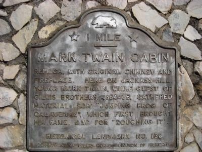
— 1 Mile —
Inscription.
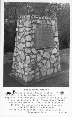
Replica, with original chimney and fireplace. Here on Jackass Hill, young Mark Twain, while guest of Gillis Brothers, 1864-65, gathered material for "Jumping Frog of Calaveras", which first brought him fame, and for "Roughing It".
Erected by Department of Public Works – Division of Highways. (Marker Number 138.)
Topics and series. This historical marker is listed in these topic lists: Notable Buildings • Settlements & Settlers. In addition, it is included in the California Historical Landmarks, and the Mark Twain Bret Harte Trail series lists.
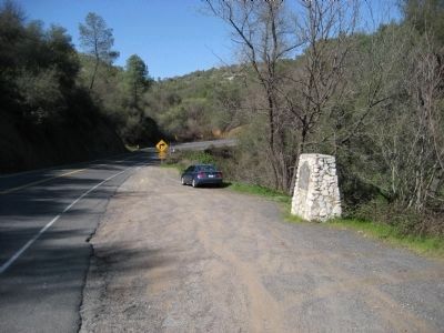
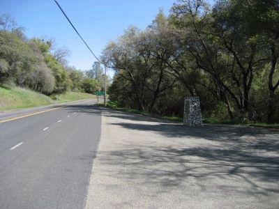
Location. 37° 59.484′ N, 120° 28.13′ W. Marker is near Columbia, California, in Tuolumne County. Marker is on State Highway 49, on the left when traveling north. Marker is 7.6 miles north of Sonora. Touch for map. Marker is in this post office area: Columbia CA 95310, United States of America. Touch for directions.
Other nearby markers. At least 8 other markers are within 3 miles of this marker, measured as the crow flies. Tuttletown (approx. 0.4 miles away); a different marker also named Mark Twain Cabin (approx. 0.7 miles away); a different marker also named Mark Twain Cabin (approx. 0.7 miles away); The Story Under the Lake (approx. 1.3 miles away); Mormon Battalion Monument (approx. 1˝ miles away); Archie D. Stevenot (approx. 2.3 miles away); Robinson's Ferry (approx. 2.3 miles away); The Humbug Mine (approx. 2.4 miles away). Touch for a list and map of all markers in Columbia.
More about this marker. Similar marker is on left side of Highway 49, heading north, 0.4 miles north of this marker. The second marker is almost identical to the first except that it has an arrow pointing to the left instead of a bar beneath "1 Mile."
Credits. This page was last revised on June 16, 2016. It was originally submitted on April 2, 2008, by Richard Wisehart of Sonora, California. This page has been viewed 2,959 times since then and 31 times this year. Last updated on March 6, 2012, by Barry Swackhamer of Brentwood, California. Photos: 1, 2, 3. submitted on April 2, 2008, by Richard Wisehart of Sonora, California. 4. submitted on February 11, 2009, by J. J. Prats of Powell, Ohio. • Syd Whittle was the editor who published this page.


