Kearney in Buffalo County, Nebraska — The American Midwest (Upper Plains)
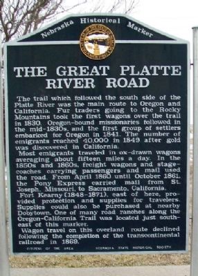
The Great Platte River Road
The trail which followed the south side of the Platte River was the main route to Oregon and California. Fur traders going to the Rocky Mountains took the first wagons over the trail in 1830. Oregon-bound missionaries followed in the mid-1830s, and the first group of settlers embarked for Oregon in 1841. The number of emigrants reached 40,000 in 1849 after gold was discovered in California.
Most emigrants traveled in ox-drawn wagons averaging about fifteen miles a day. In the 1850s and 1860s, freight wagons and stagecoaches carrying passengers and mail used the road. From April 1860 until October 1861, the Pony Express carried mail from St. Joseph, Missouri, to Sacramento, California.
Fort Kearny (1848-1871), east of here, provided protection and supplies for travelers. Supplies could also be purchased at nearby Dobytown. One of many road ranches along the Oregon-California trail was located just southeast of this marker.
Wagon travel on this overland route declined following the completion of the transcontinental railroad in 1869.
Erected by Citizens of the Area and Nebraska State Historical Society. (Marker Number 364.)
Topics and series. This historical marker is listed in these topic lists: Forts and Castles • Roads & Vehicles • Settlements & Settlers • Waterways & Vessels. In addition, it is included in the Great Platte River Road, and the Nebraska State Historical Society series lists. A significant historical month for this entry is April 1860.
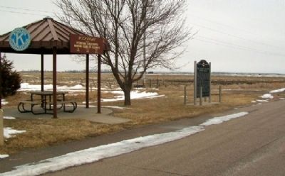
Location. 40° 39.083′ N, 99° 5.087′ W. Marker is in Kearney, Nebraska, in Buffalo County. Marker is on 25th Road (State Highway 44) 0.1 miles south of W Road, on the left when traveling south. Marker is at a roadside rest area sponsored by local Kiwanis clubs, about one mile south of Intersate 80 Exit 272. Touch for map. Marker is in this post office area: Kearney NE 68845, United States of America. Touch for directions.
Other nearby markers. At least 8 other markers are within 3 miles of this marker, measured as the crow flies. Dobytown (approx. 2.2 miles away); Boyd House (approx. 2.3 miles away); German Baptist Church of the Brethren (approx. 2.3 miles away); Loup River Freighter Hotel (approx. 2.3 miles away); Shelton Union Pacific Depot (approx. 2.3 miles away); Baldwin Engine 481 (approx. 2.4 miles away); Historic Kearney (approx. 2.4 miles away); The Great Plains (approx. 2.4 miles away). Touch for a list and map of all markers in Kearney.
Credits. This page was last revised on December 14, 2020. It was originally submitted on March 7, 2012, by William Fischer, Jr. of Scranton, Pennsylvania. This page has been viewed 910 times since then and 30 times this year. Photos: 1, 2. submitted on March 7, 2012, by William Fischer, Jr. of Scranton, Pennsylvania.

