Marker Logo HMdb.org THE HISTORICAL
MARKER DATABASE
“Bite-Size Bits of Local, National, and Global History”
Franklinville in Baltimore County, Maryland — The American Northeast (Mid-Atlantic)
 

Franklinville


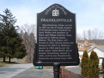
Franklinville Marker image. Click for full size.
Photographed By Bill Pfingsten, March 7, 2012
1. Franklinville Marker
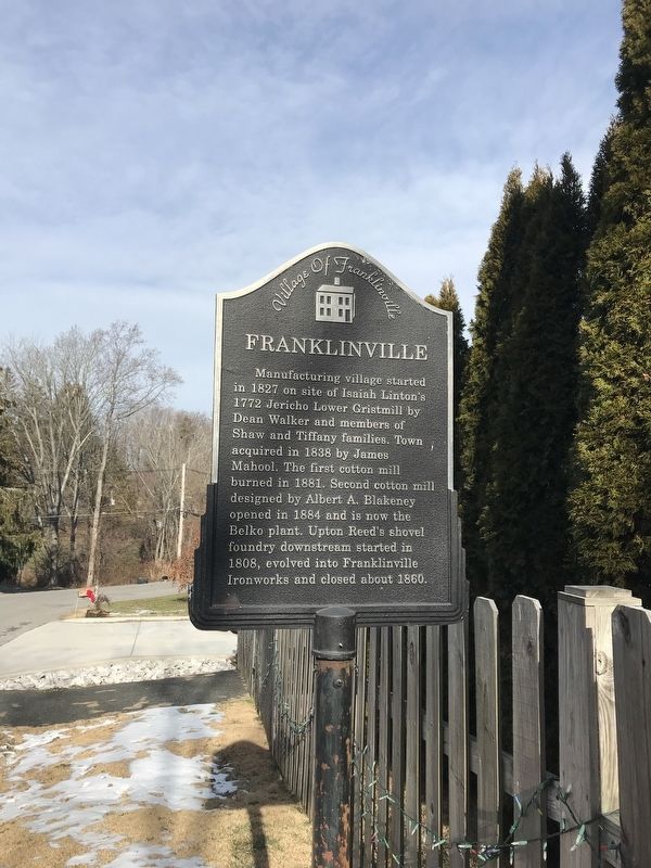
Inscription. Manufacturing village started in 1827 on site of Isaiah Linton`s 1772 Jericho Lower Gristmill by Dean Walker and members of Shaw and Tiffany families. Town acquired in 1838 by James Mahool. The first cotton mill burned in 1881. Second cotton mill designed by Albert A. Blakeney opened in 1884 and is now the Belko plant. Upton Reed's shovel foundry downstream started in 1808, evolved into Franklinville Ironworks and closed about 1860.
 
Erected by Village of Franklinville.
 
Topics. This historical marker is listed in these topic lists: Industry & CommerceSettlements & Settlers. A significant historical year for this entry is 1827.
 
Location. 39° 26.926′ N, 76° 23.08′ W. Marker is in Franklinville, Maryland, in Baltimore County. Marker is on Jericho Road just north of Woodberry Place, on the left when traveling south. Touch for map. Marker is in this post office area: Kingsville MD 21087, United States of America. Touch for directions.
 
Other nearby markers. At least 8 other markers are within 2 miles of this marker, measured as the crow flies. Mill Race Entry (approx. one mile away); Site of the Upper Jericho Saw Mill (approx. one mile away); Jerusalem Mills (approx. one mile away); Gunpowder Falls State Park (approx. one mile away); Milestone (approx. one
Paid Advertisement
Click on the ad for more information.
Please report objectionable advertising to the Editor.
Click or scan to see
this page online
mile away); Harry Gilmor's Raid (approx. one mile away); The Lime Kiln (approx. 1.1 miles away); Saint John’s Parish (approx. 1.8 miles away).
 
Franklinville Marker image. Click for full size.
Photographed By Adam Margolis, January 12, 2022
2. Franklinville Marker
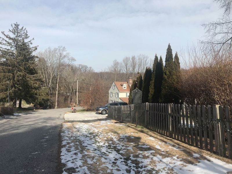
Franklinville Marker image. Click for full size.
Photographed By Adam Margolis, January 12, 2022
3. Franklinville Marker
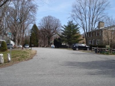
Franklinville image. Click for full size.
Photographed By Bill Pfingsten, March 7, 2012
4. Franklinville
Looking down Woodberry Place.
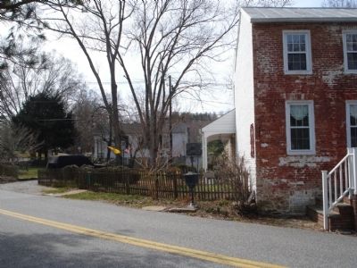
Franklinville image. Click for full size.
Photographed By Bill Pfingsten, March 7, 2012
5. Franklinville
Franklinville Presbyterian Church in background.
 
 
Credits. This page was last revised on January 19, 2022. It was originally submitted on March 7, 2012, by Bill Pfingsten of Bel Air, Maryland. This page has been viewed 1,175 times since then and 36 times this year. Last updated on July 2, 2020, by Carl Gordon Moore Jr. of North East, Maryland. Photos:   1. submitted on March 7, 2012, by Bill Pfingsten of Bel Air, Maryland.   2, 3. submitted on January 12, 2022, by Adam Margolis of Mission Viejo, California.   4, 5. submitted on March 7, 2012, by Bill Pfingsten of Bel Air, Maryland.
Share this page.  
Share on Tumblr
m=152209

CeraNet Cloud Computing sponsors the Historical Marker Database.
This website earns income from purchases you make after using our links to Amazon.com. We appreciate your support.
Paid Advertisement
Apr. 18, 2024