Twain Harte in Tuolumne County, California — The American West (Pacific Coastal)
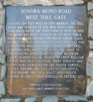
Sonora Mono Road
West Toll Gate
Erected 1995 by Twain Harte Women’s Club.
Topics. This historical marker is listed in this topic list: Roads & Vehicles. A significant historical year for this entry is 1901.
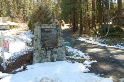
Location. 38° 1.961′ N, 120° 13.974′ W. Marker is in Twain Harte, California, in Tuolumne County. Marker is on Twain Harte Drive, on the right when traveling east. Touch for map. Marker is at or near this postal address: 22611 Twain Harte Drive, Twain Harte CA 95383, United States of America. Touch for directions.
Other nearby markers. At least 8 other markers are within 5 miles of this marker, measured as the crow flies. Bald Rock Ranch (approx. 0.4 miles away); Confidence Mine (approx. 1.6 miles away); Sonora Pass – Mono Road (approx. 2.7 miles away); Chief William Fuller (approx. 3.3 miles away); Soulsbyville (approx. 3.7 miles away); a different marker also named Soulsbyville (approx. 3.7 miles away); Cherokee (approx. 3.7 miles away); The Joseph Lord House (approx. 4.3 miles away). Touch for a list and map of all markers in Twain Harte.
Also see . . . Sonora Pass-Mono Road (No. 422 California Historical Landmark). National Geographic "Sierra Nevada Geotourism" entry (Submitted on December 29, 2020, by Larry Gertner of New York, New York.)
Additional commentary.
1. Construction of this marker
I donated my masonry services to this project. The original plan was to use lava stone. The lava stone was used as fill inside the marker and I insisted on the green rock on the outside. I also remodeled the Twain Harte Archway in 2002 with the same green rock with 15 volunteers who had never set a stone in there lives prior to its construction. I still have the news articles for both projects to prove what’s said here in February 2022.
— Submitted February 7, 2022, by Steven Kurgan of Twain harte, California 95383.
Credits. This page was last revised on February 22, 2022. It was originally submitted on March 9, 2012, by Barry Swackhamer of Brentwood, California. This page has been viewed 566 times since then and 8 times this year. Photos: 1, 2. submitted on March 9, 2012, by Barry Swackhamer of Brentwood, California. • Syd Whittle was the editor who published this page.
Editor’s want-list for this marker. Photo of the Waltz house. • Can you help?

