Green Hills in Nashville in Davidson County, Tennessee — The American South (East South Central)
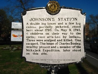
Johnson's Station
Erected 1969 by The Historical Commission of Metropolitan Nashville and Davidson County. (Marker Number 18.)
Topics and series. This historical marker is listed in these topic lists: Native Americans • Settlements & Settlers. In addition, it is included in the Tennessee, The Historical Commission of Metropolitan Nashville and Davidson County series list. A significant historical month for this entry is May 1919.
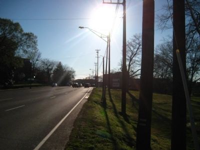
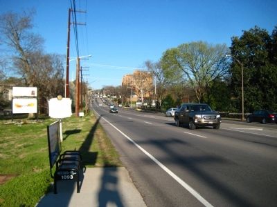
Location. 36° 7.792′ N, 86° 50.367′ W. Marker is in Nashville, Tennessee, in Davidson County. It is in Green Hills. Marker is at the intersection of Harding Pike (U.S. 70S) and Vine Court, on the right when traveling west on Harding Pike. Located at the entrance to Aquinas College. Touch for map. Marker is in this post office area: Nashville TN 37205, United States of America. Touch for directions.
Other nearby markers. At least 8 other markers are within walking distance of this marker. Vine Street Christian Church (within shouting distance of this marker); Montgomery Bell Academy (about 400 feet away, measured in a direct line); Battle of Nashville (approx. 0.3 miles away); Francis Craig Residence (approx. 0.4 miles away); The Frank House (approx. half a mile away); Block House (approx. half a mile away); Dutchman’s Curve Train Wreck (approx. 0.6 miles away); Peach Blossom (approx. 0.7 miles away). Touch for a list and map of all markers in Nashville.
Also see . . . Nickajack Expedition - Wikipedia. (Submitted on March 10, 2012, by Bill Pfingsten of Bel Air, Maryland.)
Credits. This page was last revised on February 7, 2023. It was originally submitted on March 9, 2012, by Kevin Hoch of Waco, Texas. This page has been viewed 1,188 times since then and 59 times this year. Photos: 1, 2, 3. submitted on March 9, 2012, by Kevin Hoch of Waco, Texas. • Bill Pfingsten was the editor who published this page.


