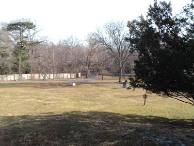
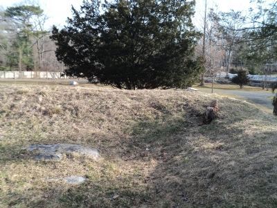
Westover in Stamford in Fairfield County, Connecticut — The American Northeast (New England)
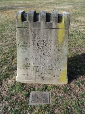
Fort Stamford
mark the site near by
of
Fort Stamford
Built and garrisoned
for the defense of the people
in these parts
in the War for
American Independence
Erected by
Stamford
Chapter
Daughters of the
American Revolution
Sept. 14,
A.D.
1926
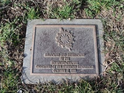
< Lower Marker : >
Relocated and rededicated
by the
Stamford Chapter
Daughters of the American Revolution
October 17, 1999
Erected 1926 by Daughters of the American Revolution - Stamford Chapter.
Topics and series. This historical marker is listed in these topic lists: Forts and Castles • War, US Revolutionary. In addition, it is included in the Daughters of the American Revolution series list. A significant historical month for this entry is October 1847.
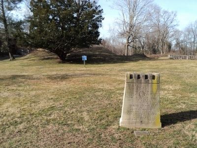
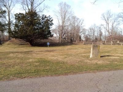
Location. 41° 5.094′ N, 73° 34.698′ W. Marker is in Stamford, Connecticut, in Fairfield County. It is in Westover. Marker is on Westover Road, on the right when traveling south. Marker is located in Fort Stamford Park. Touch for map. Marker is at or near this postal address: 900 Westover Road, Stamford CT 06902, United States of America. Touch for directions.
Other nearby markers. At least 8 other markers are within 3 miles of this marker, measured as the crow flies. A different marker also named Fort Stamford (a few steps from this marker); Congressional Medal of Honor Recipients (within shouting distance of this marker); Liberty Tree Memorial (within shouting distance of this marker); Stamford Iraq War Memorial (within shouting distance of this marker); Michael F. Lione Memorial Park (approx. 2.4 miles away); Radio Station 1BCG (approx. 2˝ miles away); Christopher Columbus (approx. 2.9 miles away); Charles E. Rowell (approx. 2.9 miles away). Touch for a list and map of all markers in Stamford.
Credits. This page was last revised on February 10, 2023. It was originally submitted on March 12, 2012, by Bill Coughlin of Woodland Park, New Jersey. This page has been viewed 806 times since then and 18 times this year. Photos: 1, 2, 3, 4, 5, 6. submitted on March 12, 2012, by Bill Coughlin of Woodland Park, New Jersey.
