Norwalk in Fairfield County, Connecticut — The American Northeast (New England)
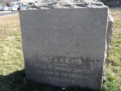
Burning of Norwalk
of this hill
Maj. Gen. William Tryon
witnessed
the Burning of Norwalk
by the British troops under his command
during the engagement of
July 11 & 12, 1779.
---------------
Erected by Norwalk Chapter
Daughters of the American
Revolution
1904
Erected 1904 by Daughters of the American - Norwalk Chapter.
Topics and series. This historical marker is listed in this topic list: War, US Revolutionary. In addition, it is included in the Daughters of the American Revolution series list. A significant historical month for this entry is July 1782.
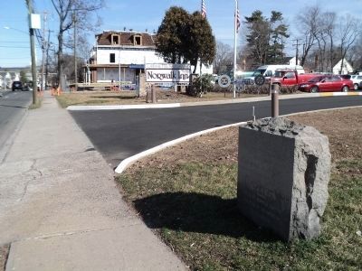
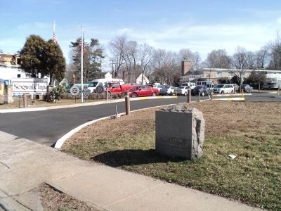
Location. 41° 6.974′ N, 73° 24.465′ W. Marker is in Norwalk, Connecticut, in Fairfield County. Marker is on East Avenue, on the right when traveling north. Marker is located in front of the Norwalk Inn & Conference Center. Touch for map. Marker is at or near this postal address: 99 East Avenue, Norwalk CT 06851, United States of America. Touch for directions.
Other nearby markers. At least 8 other markers are within walking distance of this marker. Norwalk (about 600 feet away, measured in a direct line); Norwalk World War I Memorial (approx. 0.2 miles away); Liberty Tree Memorial (approx. 0.2 miles away); St. Paul’s Historic Graveyard (approx. ¼ mile away); Parish of St. Paul’s (approx. ¼ mile away); St. Paul’s Church (approx. 0.3 miles away); Battle of the Rocks Monument (approx. 0.7 miles away); Norwalk Founded (approx. 0.8 miles away). Touch for a list and map of all markers in Norwalk.
Credits. This page was last revised on June 16, 2016. It was originally submitted on March 12, 2012, by Bill Coughlin of Woodland Park, New Jersey. This page has been viewed 1,334 times since then and 54 times this year. Photos: 1, 2, 3. submitted on March 12, 2012, by Bill Coughlin of Woodland Park, New Jersey.


