Crystal Beach in Niagara Region, Ontario — Central Canada (North America)
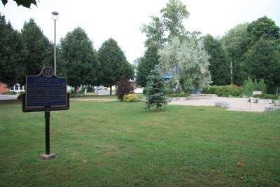
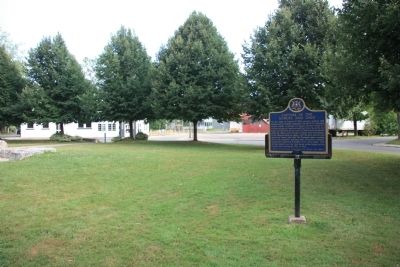
Capture of the "Somers" and "Ohio"
Erected by Ontario Archeological and Historic Sites Board.
Topics. This historical marker is listed in this topic list: War of 1812. A significant historical year for this entry is 1814.
Location. 42° 51.952′ N, 79° 3.684′ W. Marker is in Crystal Beach, Ontario, in Niagara Region. Marker is at the intersection of Queen's Circle and Shannon Road South, on the left when traveling south on Queen's Circle. To reach this historical marker proceed south, seven blocks, from the intersection of Provincial Road 1 (Farr Avenue) and Provincial Road 116 (Ridgeway Road), on Provincial Road 116 until you reach the intersection with Shannon Road North. Turn right (west) onto Shannon Road North and proceed southwest, through three intersections and the next intersection will be with Queen's Circle where the community park with the historical marker is located. Touch for map. Marker is in this post office area: Crystal Beach ON L0S 1B0, Canada. Touch for directions.
Other nearby markers. At least 8 other markers are within 14 kilometers of this marker, measured as the crow flies. Fort Erie (approx. 11.6 kilometers away); Capture of the "Ohio" and "Somers" (approx. 11.6 kilometers away); Fort Erie, Pro Patria Mori Cairn (approx. 11.7 kilometers away); Conestoga Wagon Trek (approx. 13.3 kilometers away); For the Birds (approx. 13.4 kilometers away in the U.S.); Restoring Nature (approx. 13.4 kilometers away in the U.S.); Bertie Street Ferry Landing (approx. 13.5 kilometers away); Fort Erie Ferry Landings (approx. 13.5 kilometers away).

Photographed By Dale K. Benington, July 28, 2011
4. Capture of the "Somers" and "Ohio" Marker
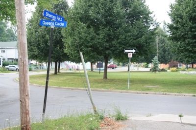
Distant view of the historical marker situated in the community park, which is located on the traffic island formed by the roadway, Queens Circle. In the foreground is the street sign for the intersection of Queens Circle and Shannon Road South.
Credits. This page was last revised on September 27, 2019. It was originally submitted on March 12, 2012, by Dale K. Benington of Toledo, Ohio. This page has been viewed 575 times since then and 13 times this year. Photos: 1, 2, 3. submitted on March 13, 2012, by Dale K. Benington of Toledo, Ohio. 4. submitted on March 14, 2012, by Dale K. Benington of Toledo, Ohio.


