East Norwalk in Fairfield County, Connecticut — The American Northeast (New England)
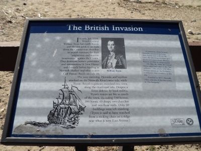
The British Invasion
In early July 1779, British General William Tryon led 2,600 British and Hessian soldiers on raids down the Connecticut shoreline to punish residents for their “ungenerous and wanton insurrection” against the Crown. They destroyed homes, provisions and ammunition in New Haven and Fairfield before landing at Norwalk Harbor and what is now Calf Pasture Beach on July 10.
The next morning, Hessians and loyalists attacked on the Norwalk River’s west side, while Tyron’s British regiments marched into town along the river’s east side. Despite a fierce defense by local militia, Tryon’s troops set fire to much of the town, including 130 homes, 100 barns, 40 shops, two churches and two flour mills. Only 30 buildings were left standing. (Tryon is said to have watched from a rocking chair on a ridge near what is now East Avenue.)
A committee of the General Assembly estimated the losses from Tryon’s raid at $116,238. Later, the federal government gave an area in Connecticut’s Western Reserve of Ohio as compensation.
On May 30, 1800, the United States ceded land titles to the “fire sufferers.” This area in NW Ohio became known as “the Firelands,” a nickname that continues to this day.
Founded in 1817, Norwalk, Ohio, was one of the first towns in “the Firelands.”
Topics. This historical marker is listed in this topic list: War, US Revolutionary. A significant historical month for this entry is May 1814.
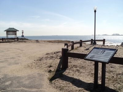
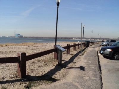
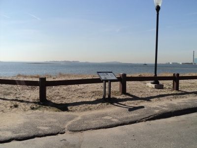
Location. 41° 4.958′ N, 73° 23.751′ W. Marker is in Norwalk, Connecticut, in Fairfield County. It is in East Norwalk. Marker is on Calf Pasture Beach Road, on the right when traveling east. Marker is located at Calf Pasture Beach. Touch for map. Marker is at or near this postal address: 50 Calf Pasture Beach Rd, Norwalk CT 06855, United States of America. Touch for directions.
Other nearby markers. At least 8 other markers are within 2 miles of this marker, measured as the crow flies. Lifeguarding History (about 500 feet away, measured in a direct line); Harvesting from the Sea (about 600 feet away); A Calf Pasture Primer (approx. 0.3 miles away); Taylor Farm Park (approx. 0.4 miles away); The Marvin Property (approx. 0.6 miles away); Fitch’s Point (approx. 0.8 miles away); Roger Ludlow (approx. 0.9 miles away); A Habitat Renewed (approx. 1.2 miles away). Touch for a list and map of all markers in Norwalk.
More about this marker. A portrait of Gen. William Tryon and a picture of a British ship appear on the marker.
Credits. This page was last revised on June 28, 2023. It was originally submitted on March 12, 2012, by Bill Coughlin of Woodland Park, New Jersey. This page has been viewed 1,137 times since then and 34 times this year. Photos: 1, 2, 3, 4. submitted on March 12, 2012, by Bill Coughlin of Woodland Park, New Jersey.


