Buckhead in Atlanta in Fulton County, Georgia — The American South (South Atlantic)
Old Cheshire Bridge Road
Howard’s 4th A.C. [US], marching from Power’s Ferry, encamped at Buckhead, July 18.
When it was found that a gap in the Federal line N.E. of Atlanta required additional forces, two divs. of Howard’s A.C. were shifted to the left. Stanley’s div., July 19, followed by Wood on the 20th, left Buckhead on Cheshire Bridge Rd. & via the old Williams Mill Road (Briarcliff), joined Schofield’s 23d A.C.
Erected 1954 by Georgia Historical Commission. (Marker Number 060-20.)
Topics and series. This historical marker is listed in this topic list: War, US Civil. In addition, it is included in the Georgia Historical Society series list. A significant historical date for this entry is July 18, 1880.
Location. Marker has been reported missing. It was located near 33° 50.313′ N, 84° 22.12′ W. Marker was in Atlanta, Georgia, in Fulton County. It was in Buckhead. Marker was at the intersection of Piedmont Road NE (Georgia Route 237) and East Paces Ferry Road NE, on the right when traveling north on Piedmont Road NE. Touch for map . Marker was in this post office area: Atlanta GA 30305, United States of America. Touch for directions.
Other nearby markers. At least 8 other markers are within one mile of this location, measured as the crow flies. 4th A.C. at Buckhead (approx. 0.4 miles away); Meet You at the Buck's Head / The Commercial Core Reimagined (approx. 0.6 miles away); The Buckhead Theatre / The Social Center Reimagined (approx. 0.6 miles away); “The Storyteller” (approx. 0.6 miles away); Gov. John M. Slaton (approx. one mile away); The Canton Apartments (approx. one mile away); Civil War Siege Cannon (approx. 1.1 miles away); Swan House (approx. 1.1 miles away). Touch for a list and map of all markers in Atlanta.
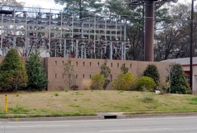
More about this marker. The marker has been missing since at least 1999; the post was standing until some time in 2011. There is now no trace of the post or marker.
Text for the missing marker was taken from “Georgia Historical Markers” (Bay Tree Grove, Second Edition 1978) compiled by Carroll P. Scruggs from the records of the Georgia Historical Commission.
Credits. This page was last revised on February 8, 2023. It was originally submitted on March 13, 2012, by David Seibert of Sandy Springs, Georgia. This page has been viewed 690 times since then and 15 times this year. Photo 1. submitted on March 13, 2012, by David Seibert of Sandy Springs, Georgia. • Craig Swain was the editor who published this page.
Editor’s want-list for this marker. Photo of marker prior to its disappearance? • Can you help?
