Northwest Berkeley in Alameda County, California — The American West (Pacific Coastal)
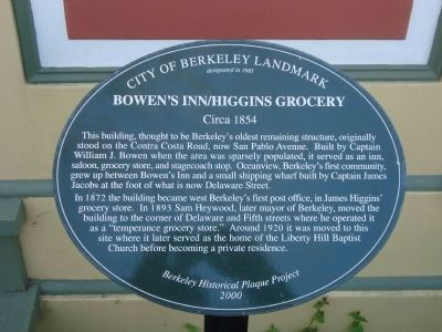
Bowen’s Inn/Higgins Grocery
Circa 1854
— City of Berkeley Landmark, designated in 1985 —
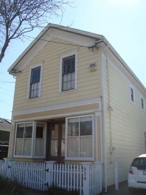
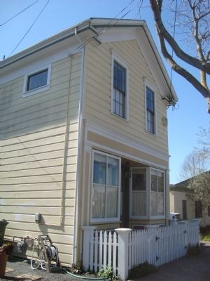
This building, thought to be Berkeley’s oldest remaining structure, originally stood on the Contra Costa Road, now San Pablo Avenue. Built by Captain William J. Bowen when the area was sparsely populated, it served as an inn, saloon, grocery store, and stagecoach stop. Oceanview, Berkeley’s first community, grew up between Bowen’s Inn and a small shipping wharf built by Captain James Jacobs at the foot of what is now Delaware Street.
In 1872 the building became Berkeley’s first post office, in James Higgins’ grocery store. In 1893 Sam Heywood, later mayor of Berkeley, moved the building to the corner of Delaware and Fifth streets where he opened it as a “temperance grocery store.” Around 1920 it was moved to this site where it later served as the home of the Liberty Hill Baptist Church before becoming a private residence.
Erected 2000 by Berkeley Historical Plaque Project.
Topics. This historical marker is listed in these topic lists: Churches & Religion • Communications • Industry & Commerce. A significant historical year for this entry is 1872.
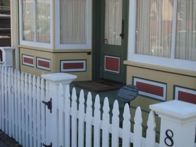
Location. 37° 52.235′ N, 122° 17.873′ W. Marker is in Berkeley, California, in Alameda County. It is in Northwest Berkeley. Marker is on Delaware Street east of 6th Street , on the right when traveling east. Touch for map. Marker is at or near this postal address: 834 Delaware Street, Berkeley CA 94710, United States of America. Touch for directions.
Other nearby markers. At least 8 other markers are within walking distance of this marker. Delaware Street Historic District (about 500 feet away, measured in a direct line); 935 Hearst Avenue (about 800 feet away); Church of the Good Shepherd (approx. 0.2 miles away); Spenger’s Fish Grotto (approx. 0.2 miles away); Workingman’s Hall (approx. 0.2 miles away); Toveri Tupa – Finnish Hall (approx. ¼ mile away); Fullen Market Building (approx. 0.4 miles away); American Photoplayer Co. (approx. 0.6 miles away). Touch for a list and map of all markers in Berkeley.
Credits. This page was last revised on February 7, 2023. It was originally submitted on March 23, 2012, by Barry Swackhamer of Brentwood, California. This page has been viewed 726 times since then and 22 times this year. Photos: 1, 2, 3, 4. submitted on March 23, 2012, by Barry Swackhamer of Brentwood, California. • Syd Whittle was the editor who published this page.


