Financial District in Manhattan in New York County, New York — The American Northeast (Mid-Atlantic)
Fort George
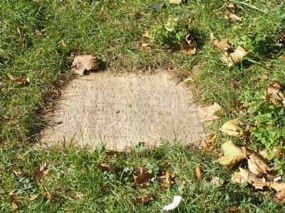
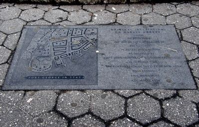
Inscription.
the site of the S.W. bastion of
Fort George
in 40° 42' 8" N. latitude
as observed by
Capt. John Montresor and David Rittenhouse
in October 1769
The Corporation of the City of New York
have erected
this monument
A.D. MDCCCXVII
Erected 1817 by Corporation of the City of New York.
Topics. This historical marker is listed in these topic lists: Colonial Era • Forts and Castles. A significant historical month for this entry is October 1769.
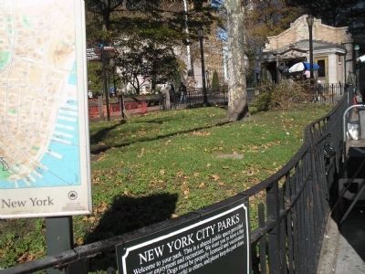
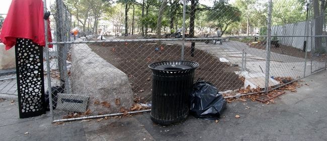
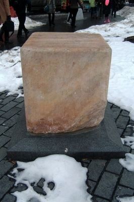
Location. 40° 42.242′ N, 74° 0.878′ W. Marker is in Manhattan, New York, in New York County. It is in the Financial District. Marker is on State Street, on the right when traveling south. Marker has been moved from its former location to one closer to the Bowling Green control house. Touch for map. Marker is in this post office area: New York NY 10004, United States of America. Touch for directions.
Other nearby markers. At least 8 other markers are within walking distance of this marker. This Ancient Cannon (a few steps from this marker); Netherlands Monument (within shouting distance of this marker); Netherlands Memorial (within shouting distance of this marker); John Ericsson Statue (within shouting distance of this marker); John Ericsson (within shouting distance of this marker); Historic Battery Park & Castle Clinton (within shouting distance of this marker); American Merchant Marine (within shouting distance of this marker); George Gustav Heye (within shouting distance of this marker). Touch for a list and map of all markers in Manhattan.
Also see . . . The Battery: Fort George Memorial Tablet. The official Parks Department description of the memorial. (Submitted on December 12, 2018, by Larry Gertner of New York, New York.)
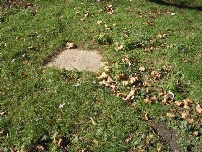
Photographed By Bill Coughlin, November 4, 2009
2. Fort George Marker
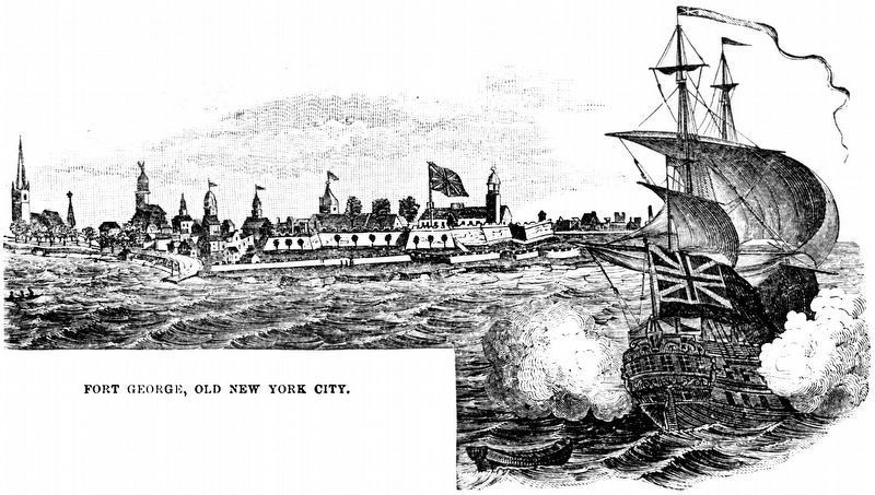
Fort George was a fort on the southern tip of Manhattan Island that served the Dutch, the British and finally the Americans from 1625 until after the Revolutionary War. Americans stationed at this fort exchanged cannon fire with the British during the 1776 Battle of Long Island. Battery Park was named for the guns that were positioned at this site.
Credits. This page was last revised on January 31, 2023. It was originally submitted on March 25, 2012, by Bill Coughlin of Woodland Park, New Jersey. This page has been viewed 1,606 times since then and 69 times this year. Last updated on June 13, 2019, by Larry Gertner of New York, New York. Photos: 1, 2, 3. submitted on March 25, 2012, by Bill Coughlin of Woodland Park, New Jersey. 4, 5, 6. submitted on May 10, 2016, by Larry Gertner of New York, New York. 7. submitted on January 17, 2021, by Allen C. Browne of Silver Spring, Maryland. • Andrew Ruppenstein was the editor who published this page.
