LaGrange in LaGrange County, Indiana — The American Midwest (Great Lakes)
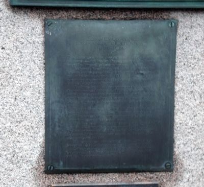
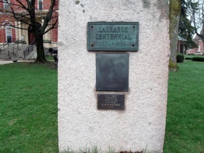
Commemorating LaGrange Centennial 1836 - 1936
Inscription.
The Centennial Stone was erected in 1936 to commemorate the one hundredth anniversary of the founding of the Town of LaGrange on June 13, 1836.
LaGrange County was established by act of the Indiana Legislature in 1832, sixteen years after Indiana was admitted as a state in 1816. The county and county seat were named after “LaGrange” the estate of General LaFayette in France.
Tradition has it that this region was first visited by the white man in 1676 when a French missionary reported to have traveled it enroute from the St. Joseph river to the Indiana village of Kehionga now Ft. Wayne. LaSalle is believed to have visited the region four years later.
This territory was inhabited by the Potowatomi Indians. Mongaquiong, near the present site of Howe and Shipshewana Village on the shores of Shipshewana Lake were important Indian Villages.
The first white settlement was at Howe, formerly Lima, in 1828, one of the first towns north of Ft. Wayne. The first college west of Oberlin, Ohio, the LaGrange Collegiate Institute, was established at Ontario five miles northeast, in 1837.
The county seat was removed from Lima to LaGrange in 1844. LaGrange was incorporated in 1855.
LaGrange county has more than fifty lakes and five streams. Her fertile lands give the county high rank in the state agriculturally.
Erected 1936.
Topics. This historical marker is listed in these topic lists: Colonial Era • Notable Places • Settlements & Settlers. A significant historical date for this entry is June 13, 1836.
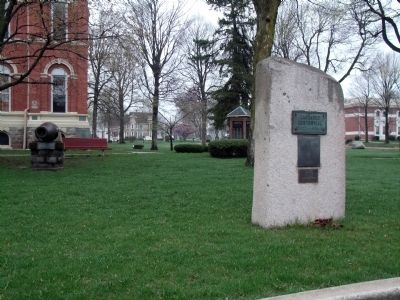
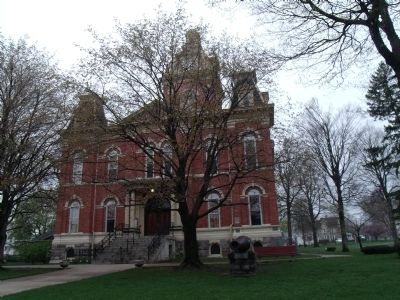
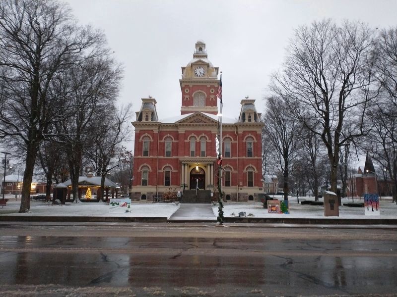
Location. 41° 38.671′ N, 85° 25.09′ W. Marker is in LaGrange, Indiana, in LaGrange County. Marker is on North Detroit Street south of Michigan Street, on the right when traveling south. Located on the East sidewalk of the LaGrange County Courthouse in LaGrange, Indiana. Touch for map. Marker is at or near this postal address: 105 North Detroit Street, Lagrange IN 46761, United States of America. Touch for directions.
Other nearby markers. At least 8 other markers are within 6 miles of this marker, measured as the crow flies. LaGrange County Civil War Memorial (a few steps from this marker); LaGrange County Honor Rolls - W. W. I, Korea, and Other Service (a few steps from this marker); LaGrange County Organized 1832 (a few steps from this marker); LaGrange County American Revolution Memorial (a few steps from this marker); LaGrange County Spanish American War Memorial (a few steps from this marker); LaGrange County W. W. II Honor Rolls (within shouting distance of this marker); Village of Lima Civil War Memorial (approx. 5.2 miles away);
Site of First LaGrange County Courthouse and Jail 1833 - 1843 (approx. 5.2 miles away). Touch for a list and map of all markers in LaGrange.
Credits. This page was last revised on December 24, 2022. It was originally submitted on March 26, 2012, by Al Wolf of Veedersburg, Indiana. This page has been viewed 518 times since then and 17 times this year. Photos: 1, 2, 3, 4. submitted on March 26, 2012, by Al Wolf of Veedersburg, Indiana. 5. submitted on December 16, 2022, by Craig Doda of Napoleon, Ohio. • Bill Pfingsten was the editor who published this page.
