Marathon in Brewster County, Texas — The American South (West South Central)
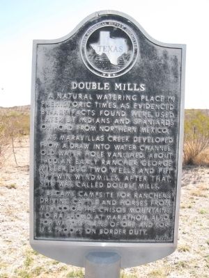
Double Mills
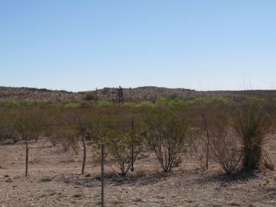
As Maravillas Creek developed from a draw into water channel, old water hole vanished. About 1900 a rancher, George Miller, dug two wells and put up twin windmills. After that site was called Double Mills.
Became campsite for ranchers driving cattle and horses from Mexico or the Chisos Mountains to the railroad at Marathon. Also for wagon trains of ore; and for U.S. troops on border duty.
Erected 1967 by State Historical Survey Committee. (Marker Number 1258.)
Topics and series. This historical marker is listed in these topic lists: Anthropology & Archaeology • Hispanic Americans • Native Americans. In addition, it is included in the Comanche Trail into Mexico series list. A significant historical year for this entry is 1900.
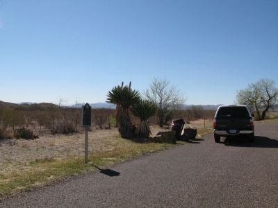
Location. 29° 44.569′ N, 103° 9.648′ W. Marker is in Marathon, Texas, in Brewster County. Marker is on U.S. 385, on the right when traveling south. Marker is located in small rest stop, on left, going south on 385. Touch for map. Marker is in this post office area: Marathon TX 79842, United States of America. Touch for directions.
Other nearby markers. At least 2 other markers are within 6 miles of this marker, measured as the crow flies. The U.S. Army Camel Experiment (a few steps from this marker); Comanche Trail (approx. 5.8 miles away).
Credits. This page was last revised on June 16, 2016. It was originally submitted on March 27, 2012, by Richard Denney of Austin, Texas. This page has been viewed 864 times since then and 35 times this year. Photos: 1, 2, 3. submitted on March 27, 2012, by Richard Denney of Austin, Texas. • Craig Swain was the editor who published this page.


