Leavenworth in Leavenworth County, Kansas — The American Midwest (Upper Plains)
Haymarket Square
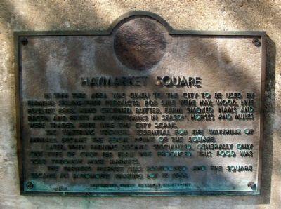
In 1866 this area was given to the city to be used by farmers selling their products. For sale were hay, wood, live poultry, eggs, hand churned butter, farm smoked hams and bacon, and fruits and vegetables in season. Horese and mules were traded. Here was the city scale.
The watering trough, essential for the watering of animals, became the focal point of the Square.
Later, when farming became specialized, generally only one type of crop per farm was produced. This food was sold thorugh huge markets.
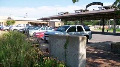
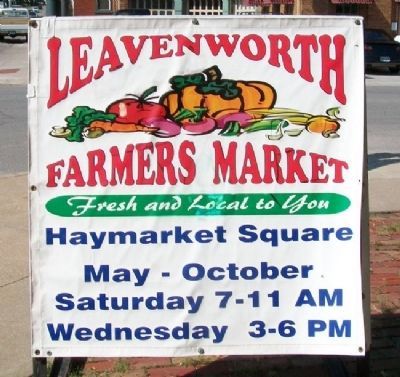
The Farmers Market was abandoned and the Square became an automobile parking lot in 1949.
Erected 1977 by Leavenworth County Historical Society.
Topics. This historical marker is listed in these topic lists: Agriculture • Industry & Commerce • Settlements & Settlers. A significant historical year for this entry is 1866.
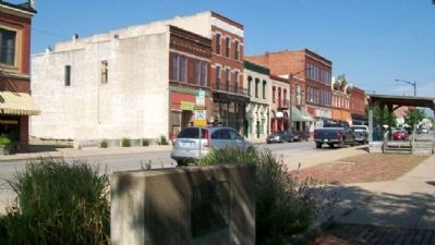
Location. 39° 18.996′ N, 94° 55.082′ W. Marker is in Leavenworth, Kansas, in Leavenworth County. Marker is at the intersection of Cherokee Street and 7th Street, on the left when traveling west on Cherokee Street. Touch for map. Marker is at or near this postal address: 649 Cherokee Street, Leavenworth KS 66048, United States of America. Touch for directions.
Other nearby markers. At least 8 other markers are within walking distance of this marker. William Frederick "Buffalo Bill" Cody (here, next to this marker); Davis Funeral Chapel (approx. 0.2 miles away); Leavenworth Masonic Building Association (approx. 0.2 miles away); St. Paul's Episcopal Church (approx. 0.2 miles away); The Star of the West (approx. ¼ mile away); Replica of the Statue of Liberty (approx. ¼ mile away); The Star of the West Saloon (approx. ¼ mile away); Leavenworth (approx. ¼ mile away). Touch for a list and map of all markers in Leavenworth.
Also see . . . Haymarket Square Information. City website entry (Submitted on March 29, 2012, by William Fischer, Jr. of Scranton, Pennsylvania.)
Credits. This page was last revised on January 14, 2022. It was originally submitted on March 29, 2012, by William Fischer, Jr. of Scranton, Pennsylvania. This page has been viewed 468 times since then and 15 times this year. Photos: 1, 2, 3, 4. submitted on March 29, 2012, by William Fischer, Jr. of Scranton, Pennsylvania.


