Ivanhoe in Bulloch County, Georgia — The American South (South Atlantic)
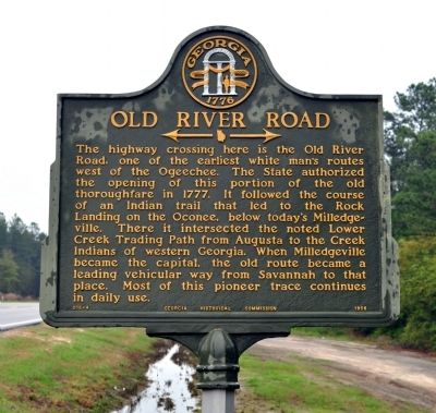
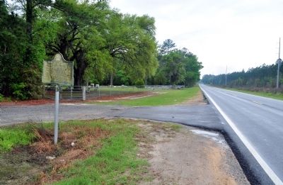
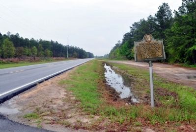
Old River Road
<------->
Erected 1956 by Georgia Historical Commission. (Marker Number 016-4.)
Topics and series. This historical marker is listed in these topic lists: Native Americans • Roads & Vehicles. In addition, it is included in the Georgia Historical Society series list. A significant historical year for this entry is 1777.
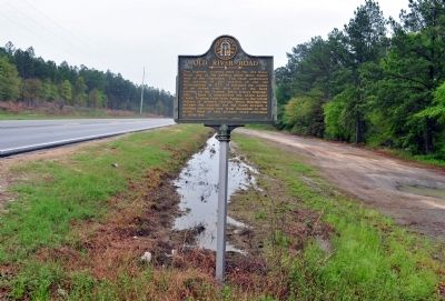
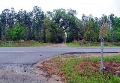
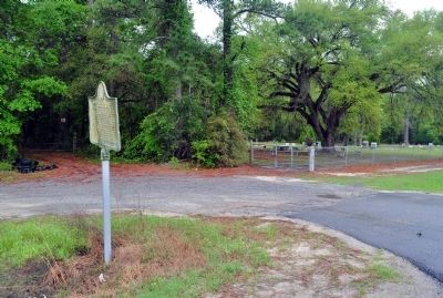
Location. 32° 17.14′ N, 81° 28.21′ W. Marker is in Ivanhoe, Georgia, in Bulloch County. Marker is at the intersection of Georgia Route 119 and Turner Road, on the left when traveling west on State Route 119. The marker is approximately 1/4 mile east of the intersection of GA 119 with GA 119-C. Touch for map. Marker is in this post office area: Brooklet GA 30415, United States of America. Touch for directions.
Other nearby markers. At least 8 other markers are within 9 miles of this marker, measured as the crow flies. Stilson, Georgia (approx. 5.4 miles away); Guyton Confederate General Hospital (approx. 5Ĺ miles away); Pilgrim Missionary Baptist Normal and Industrial Institute (approx. 5.7 miles away); Camp Davis, Military Instructional Camp, C.S.A. (approx. 6.4 miles away); a different marker also named Old River Road (approx. 6.4 miles away); Jencks Bridge (approx. 7.2 miles away); John Abbot 1751 - 1840 (approx. 8 miles away); Sherman's Right Wing (approx. 8.3 miles away).
Additional commentary.
1.
The Bulloch County Sheriff's Office is investigating the theft of this marker as of Jan 28, 2015.
http://www.myfoxal.com/story/27958986/bulloch-co-authorities-investigate-theft-of-historical-marker
— Submitted January 30, 2015, by Mark Hilton of Montgomery, Alabama.
2. Old River Road Marker
The marker is again standing in January 2017.
— Submitted November 6, 2017, by David Seibert of Sandy Springs, Georgia.
Credits. This page was last revised on November 6, 2017. It was originally submitted on April 1, 2012, by David Seibert of Sandy Springs, Georgia. This page has been viewed 1,082 times since then and 43 times this year. Photos: 1, 2, 3, 4, 5, 6. submitted on April 1, 2012, by David Seibert of Sandy Springs, Georgia. • Craig Swain was the editor who published this page.
