Franklin in Williamson County, Tennessee — The American South (East South Central)
Trinity Church
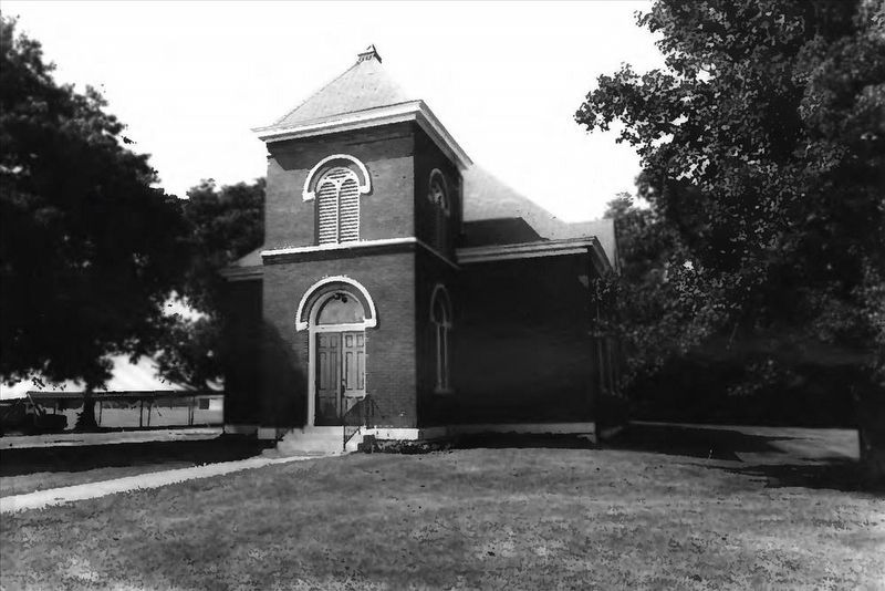
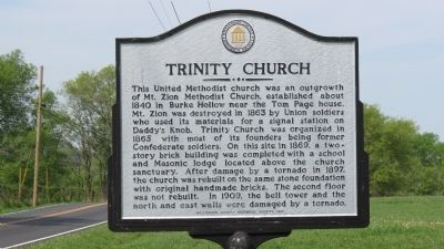
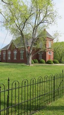
This United Methodist church was an outgrowth of Mt. Zion Methodist church, established about 1840 in Burke Hollow near the Tom Page house. Mt. Zion was destroyed in 1863 by Union soldiers who used its materials for a signal station on Daddy's Knob. Trinity church was organized in 1865 with most of its founders being former Condederate soldiers. On this site in 1869, a two-story brick building was completed with a school and Masonic lodge located above the church sanctuary. After damage by a tornado in 1897, the church was rebuilt on the same stone foundation with original handmade bricks. The second floor was not rebuilt. In 1909, the bell tower and the north and east walls were damaged by a tornado.
Erected 1997 by Williamson County Historical Society.
Topics and series. This historical marker is listed in these topic lists: Churches & Religion • War, US Civil. In addition, it is included in the Tennessee – Williamson County Historical Society series list. A significant historical year for this entry is 1840.
Location. 35° 54.624′ N, 86° 45.216′ W. Marker is in Franklin, Tennessee, in Williamson County. Marker is on Wilson Pike (Tennessee Route 252) 0.4 miles north of Tulloss Road, on the right when traveling north. Touch for map. Marker is at or near this postal address: 2084 Wilson Pike, Franklin TN 37067, United States of America. Touch for directions.
Other nearby markers. At least 8 other markers are within 4 miles of this marker, measured as the crow flies. Clovercroft Road and Wilson Pike Area / Breezeway (approx. 1.4 miles away); Rock Hill (approx. 1˝ miles away); Seward Hall (approx. 2 miles away); John Crafton House (approx. 2.4 miles away); Spring House (approx. 2.7 miles away); Cistern and Root Cellar (approx. 2.7 miles away); Epworth United Methodist Church (approx. 3.3 miles away); McConnico Meeting House (approx. 3˝ miles away). Touch for a list and map of all markers in Franklin.
Also see . . . Trinity United Methodist Church (Franklin, Tennessee). Wikipedia entry (Submitted on July 3, 2022, by Larry Gertner of New York, New York.)

via NPS, unknown
2. Trinity United Methodist Curch
NPGallery Digital Asset Management System website entry
Click for more information.
Click for more information.
Credits. This page was last revised on July 25, 2022. It was originally submitted on April 2, 2012, by Tom Gillard of Tullahoma, Tennessee. This page has been viewed 757 times since then and 24 times this year. Photos: 1. submitted on April 2, 2012, by Tom Gillard of Tullahoma, Tennessee. 2. submitted on July 3, 2022, by Larry Gertner of New York, New York. 3, 4. submitted on April 2, 2012, by Tom Gillard of Tullahoma, Tennessee. • Bernard Fisher was the editor who published this page.


