Thorold in Niagara Region, Ontario — Central Canada (North America)
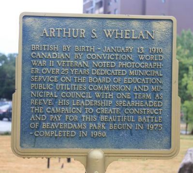
Arthur S. Whelan
Topics. This historical marker is listed in these topic lists: Arts, Letters, Music • Settlements & Settlers • War, World II. A significant historical date for this entry is January 13, 1910.
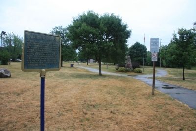
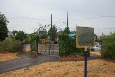
Location. 43° 7.383′ N, 79° 12.094′ W. Marker is in Thorold, Ontario, in Niagara Region. Marker is on Sullivan Avenue just south of Towpath Road, on the right when traveling east. This historic marker is located in Beaversdam Battlefield Park, near the north entrance to the park, along a walking trail that runs north to south through the park, just southwest of the downtown business district. Touch for map. Marker is in this post office area: Thorold ON L2V 0A7, Canada. Touch for directions.
Other nearby markers. At least 8 other markers are within 5 kilometers of this marker, measured as the crow flies. In Memory of John Bean, Ph.D., M.D. (a few steps from this marker); Beaver Dams (within shouting distance of this marker); Laura Ingersoll Secord (within shouting distance of this marker); In Memory of Unknown American Soldiers (within shouting distance of this marker); The Founding of Thorold (about 150 meters away, measured in a direct line); Old Thorold Firehall (about 210 meters away); Lock 24 - First Welland Canal (approx. 1.4 kilometers away); Vertical Lift Bridges (approx. 3.6 kilometers away). Touch for a list and map of all markers in Thorold.
Credits. This page was last revised on January 1, 2020. It was originally submitted on April 3, 2012, by Dale K. Benington of Toledo, Ohio. This page has been viewed 547 times since then and 5 times this year. Photos: 1, 2, 3. submitted on April 4, 2012, by Dale K. Benington of Toledo, Ohio.


