Scottsville in Monroe County, New York — The American Northeast (Mid-Atlantic)
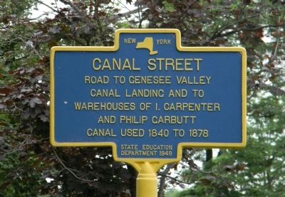
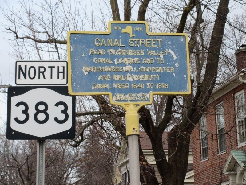
Canal Street
Canal used 1840 to 1878
Erected 1949 by New York State Education Department.
Topics. This historical marker is listed in these topic lists: Industry & Commerce • Roads & Vehicles. A significant historical year for this entry is 1840.
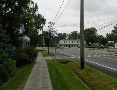
Location. 43° 1.217′ N, 77° 44.897′ W. Marker is in Scottsville, New York, in Monroe County. Marker is at the intersection of Rochester Street (New York State Route 383) and Canal Street, on the left when traveling south on Rochester Street. Touch for map. Marker is in this post office area: Scottsville NY 14546, United States of America. Touch for directions.
Other nearby markers. At least 8 other markers are within one mile of this marker, measured as the crow flies. Feeder Gates (within shouting distance of this marker); Genesee Valley Greenway (about 600 feet away, measured in a direct line); a different marker also named Genesee Valley Greenway (approx. 0.2 miles away); Mill Site Area of Historic Scottsville (approx. 0.2 miles away); Northampton (approx. 0.2 miles away); First House (approx. ¾ mile away); Site of Early School (approx. one mile away); Erected 1834 (approx. one mile away). Touch for a list and map of all markers in Scottsville.
Regarding Canal Street. Canal Street is now short dead end street which leads to a boardwalk to the Genesee Valley Greenway Trail. Along the boardwalk vestiges of the Genesee Valley Canal and the Scottsville and Genesee River Canal can be seen.
Related marker. Click here for another marker that is related to this marker. To better understand the relationship, study each marker in shown.
Also see . . . Scottsville & Genesee River Canal. (Submitted on April 5, 2012, by PaulwC3 of Northern, Virginia.)

Photographed By Paul Crumlish, June 26, 2011
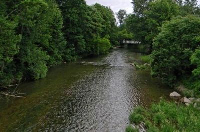
4. Modern Day view of Genesee River Canal
Looking down the Oatka Creek, the canal crossed the creek via an aqueduct where the abandoned railroad bridge is. The bridge was built on the foundations of the aqueduct. The warehouses and landing were on the left bank of the creek where it met the canal.
Credits. This page was last revised on December 13, 2022. It was originally submitted on April 5, 2012, by PaulwC3 of Northern, Virginia. This page has been viewed 683 times since then and 20 times this year. Photos: 1. submitted on April 5, 2012, by PaulwC3 of Northern, Virginia. 2. submitted on December 10, 2022, by Mira Earls of Cortland, New York. 3, 4. submitted on April 5, 2012, by PaulwC3 of Northern, Virginia.
Editor’s want-list for this marker. Photos of the old warehouse ruins, during the fall or winter when the leaves are down, by the Canal Street boardwalk • Can you help?


