Rome in Oneida County, New York — The American Northeast (Mid-Atlantic)
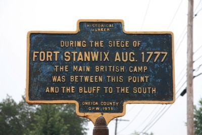
During the siege of Fort Stanwix Aug. 1777
Fort Stanwix Aug. 1777
the Main British Camp
was between this point
and the bluff to the south
Erected 1971 by Oneida County D.P.W.
Topics. This historical marker is listed in these topic lists: Forts and Castles • War, US Revolutionary. A significant historical year for this entry is 1777.
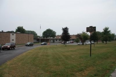
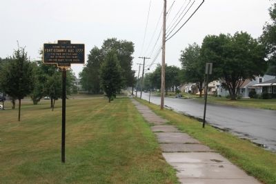
Location. 43° 12.665′ N, 75° 26.435′ W. Marker is in Rome, New York, in Oneida County. Marker is on East Bloomfield Street west of Harding Boulevard, on the right when traveling east. This historical marker is located on the front grounds of a public elementary school, in the far northeast corner of the property, near where East Bloomfield Street crosses the Mohawk River. Touch for map. Marker is at or near this postal address: 620 Bloomfield St, Rome NY 13440, United States of America. Touch for directions.
Other nearby markers. At least 8 other markers are within walking distance of this marker. Willett Bridge (approx. 0.6 miles away); Unrealized Expectations (approx. 0.7 miles away); Rome's Italian Heritage (approx. 0.7 miles away); Water for the Garrison (approx. 0.7 miles away); Revolutionary Battlefields (approx. 0.7 miles away); Senator John Fitzgerald Kennedy (approx. ¾ mile away); Family Quarters (approx. ¾ mile away); Junior Officers’ Quarters (approx. ¾ mile away). Touch for a list and map of all markers in Rome.
Credits. This page was last revised on July 16, 2020. It was originally submitted on April 6, 2012, by Dale K. Benington of Toledo, Ohio. This page has been viewed 550 times since then and 10 times this year. Photos: 1, 2, 3. submitted on April 6, 2012, by Dale K. Benington of Toledo, Ohio.


