Marker Logo HMdb.org THE HISTORICAL
MARKER DATABASE
“Bite-Size Bits of Local, National, and Global History”
Richmond Hill in Bryan County, Georgia — The American South (South Atlantic)
 

Martha-Mary Chapel


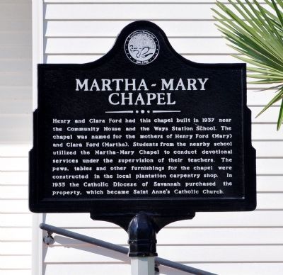
Martha-Mary Chapel Marker image. Click for full size.
Photographed By David Seibert, April 1, 2012
1. Martha-Mary Chapel Marker
Inscription. Henry and Clara Ford had this chapel built in 1937 near the Community House and the Ways Station School. The chapel was named for the mothers of Henry Ford (Mary) and Clara Ford (Martha). Students from the nearby school utilized the Martha-Mary Chapel to conduct devotional services under the supervision of their teachers. The pews, tables and other furnishings for the chapel were constructed in the local plantation carpentry shop. Today, the chapel is owned by St. Anne’s Catholic Church.
 
Erected 2012 by Coastal Bryan Heritage Trail.
 
Topics. This historical marker is listed in this topic list: Churches & Religion. A significant historical year for this entry is 1937.
 
Location. 31° 56.467′ N, 81° 18.367′ W. Marker is in Richmond Hill, Georgia, in Bryan County. Marker is on Henry Ford Avenue (Georgia Route 144) 0 miles north of Constitution Way, on the right when traveling south. Touch for map. Marker is at or near this postal address: 10550 Henry Ford Avenue, Richmond Hill GA 31324, United States of America. Touch for directions.
 
Other nearby markers. At least 8 other markers are within walking distance of this marker. Community House (within shouting distance of this marker); Ford Plantation Bakery (approx. 0.2 miles away); Henry Ford at Richmond Hill (approx. ¼ mile away); Ford Plantation Commissary (approx. ¼ mile away); J. F. Gregory
Paid Advertisement
Click on the ad for more information.
Please report objectionable advertising to the Editor.
Click or scan to see
this page online
(approx. ¼ mile away); Robert E. Lee (approx. 0.3 miles away); Ways Station (approx. 0.3 miles away); a different marker also named Ways Station (approx. 0.3 miles away). Touch for a list and map of all markers in Richmond Hill.
 
Additional keywords. Henry Ford
 
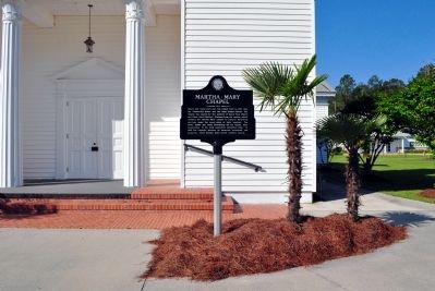
Martha-Mary Chapel Marker image. Click for full size.
Photographed By David Seibert, April 1, 2012
2. Martha-Mary Chapel Marker
Martha-Mary Chapel Marker image. Click for full size.
Photographed By David Seibert, April 1, 2012
3. Martha-Mary Chapel Marker
Martha-Mary Chapel image. Click for full size.
Photographed By David Seibert, April 1, 2012
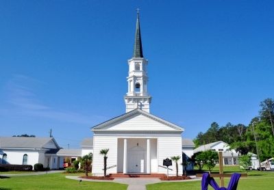
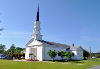
4. Martha-Mary Chapel
Now St. Anne's Catholic Church
 
 
Credits. This page was last revised on June 16, 2016. It was originally submitted on April 11, 2012, by David Seibert of Sandy Springs, Georgia. This page has been viewed 1,035 times since then and 40 times this year. Photos:   1, 2, 3, 4. submitted on April 11, 2012, by David Seibert of Sandy Springs, Georgia. • Craig Swain was the editor who published this page.
Share this page.  
Share on Tumblr
m=54319

CeraNet Cloud Computing sponsors the Historical Marker Database.
This website earns income from purchases you make after using our links to Amazon.com. We appreciate your support.
Paid Advertisement
Apr. 24, 2024