Rumson in Monmouth County, New Jersey — The American Northeast (Mid-Atlantic)
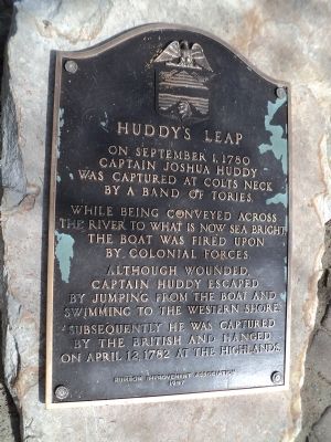
Huddy’s Leap
Captain Joshua Huddy
was captured at Colts Neck
by a band of Tories.
While being conveyed across
the river to what is now Sea Bright,
the boat was fired upon
by Colonial forces.
Although wounded,
Captain Huddy escaped
by jumping from the boat and
swimming to the western shore.
Subsequently he was captured
by the British and hanged
on April 12, 1782 at the Highlands.
Erected 1957 by Rumson Improvement Association.
Topics. This historical marker is listed in this topic list: War, US Revolutionary. A significant historical date for this entry is April 12, 1782.
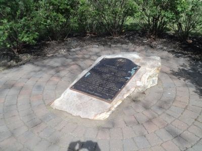
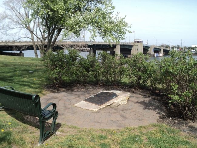
Location. 40° 21.921′ N, 73° 58.63′ W. Marker is in Rumson, New Jersey, in Monmouth County. Marker is at the intersection of Rumson Road and Packer Avenue, on the left when traveling east on Rumson Road. Marker is on the west shore of the Shrewsbury River in West Park. Touch for map. Marker is in this post office area: Rumson NJ 07760, United States of America. Touch for directions.
Other nearby markers. At least 8 other markers are within 3 miles of this marker, measured as the crow flies. Jumping Point Park (within shouting distance of this marker); Battle of Black Point (approx. 1.3 miles away); 1945 - 2005 Rumson Veterans Monument (approx. 2 miles away); Twin Lights Mystery Cannon (approx. 2.2 miles away); Electric Power Station (approx. 2.2 miles away); Highlands Doughboy World War I Monument (approx. 2.2 miles away); Powerhouse (approx. 2.2 miles away); The Navesink Light Station (approx. 2.2 miles away). Touch for a list and map of all markers in Rumson.
Also see . . . Revenge Hanging - Joshua Huddy and the Charles Asgill Affair. Founding Father of the Day website entry (Submitted on July 15, 2022, by Larry Gertner of New York, New York.)
Credits. This page was last revised on July 15, 2022. It was originally submitted on April 14, 2012, by Bill Coughlin of Woodland Park, New Jersey. This page has been viewed 848 times since then and 46 times this year. Photos: 1, 2, 3. submitted on April 14, 2012, by Bill Coughlin of Woodland Park, New Jersey.


