Middletown Township near Highlands in Monmouth County, New Jersey — The American Northeast (Mid-Atlantic)
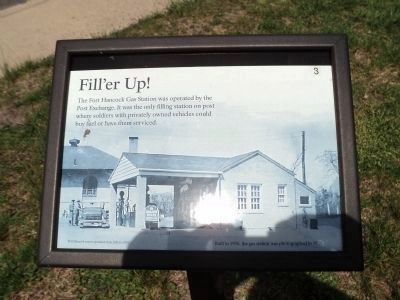
Fill’er Up!
Inscription.
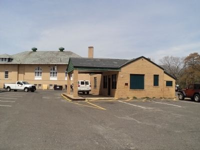
The Fort Hancock Gas Station was operated by the Post Exchange. It was the only filling station on post where soldiers with privately owned vehicles could buy fuel or have them serviced.
Fort Hancock was in operation from 1895 to 1974.
Erected by National Park Service, U.S. Department of the Interior. (Marker Number 3.)
Topics and series. This historical marker is listed in this topic list: Notable Buildings. In addition, it is included in the New Jersey - Fort Hancock Walking Tour series list. A significant historical year for this entry is 1895.
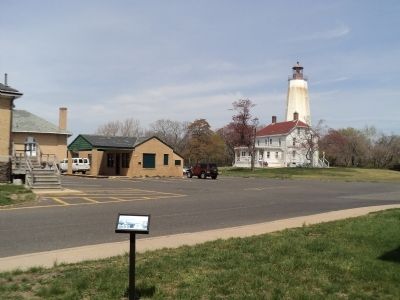
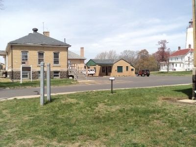
Location. 40° 27.658′ N, 74° 0.166′ W. Marker is near Highlands, New Jersey, in Monmouth County. It is in Middletown Township. Marker is at the intersection of Magruder Road and Hudson Road, on the left when traveling north on Magruder Road. Marker is located in the Fort Hancock area in the Sandy Hook Unit of Gateway National Recreation Area. Touch for map. Marker is in this post office area: Highlands NJ 07732, United States of America. Touch for directions.
Other nearby markers. At least 8 other markers are within walking distance of this marker. Chow Time! (within shouting distance of this marker); Handball Court (within shouting distance of this marker); Women's Army Corps (WAC) (within shouting distance of this marker); Fire House Number 2 (within shouting distance of this marker); Sandy Hook (within shouting distance of this marker); Discover Sandy Hook (within shouting distance of this marker); Young Men’s Christian Association (within shouting distance of this marker); Lighting the Way (within shouting distance of this marker). Touch for a list and map of all markers in Highlands.
More about this marker. A picture of the Filling Station appears on the background of the marker. It has a caption of “Built in 1936, the gas station was photographed in 1938.”
Credits. This page was last revised on February 7, 2023. It was originally submitted on April 14, 2012, by Bill Coughlin of Woodland Park, New Jersey. This page has been viewed 426 times since then and 9 times this year. Photos: 1, 2, 3, 4. submitted on April 14, 2012, by Bill Coughlin of Woodland Park, New Jersey.


