Dobbins in Yuba County, California — The American West (Pacific Coastal)
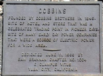
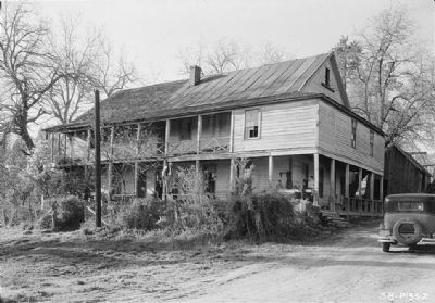
Dobbins
Erected 1966 by Sam Brannan Chapter 1004, E Clampus Vitus.
Topics and series. This historical marker is listed in these topic lists: Industry & Commerce • Notable Places • Settlements & Settlers. In addition, it is included in the E Clampus Vitus series list. A significant historical year for this entry is 1849.
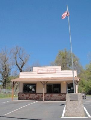
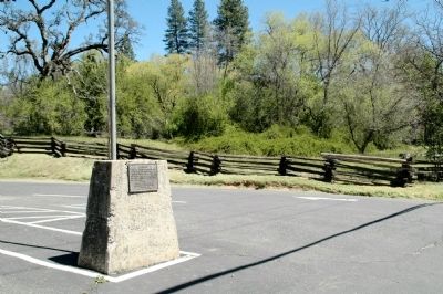
Location. 39° 22.327′ N, 121° 12.477′ W. Marker is in Dobbins, California, in Yuba County. Marker is on Old Dobbins Road, on the right when traveling west. Plaque is located on a monument in front of the Post Office. Touch for map. Marker is at or near this postal address: 10375 Old Dobbins Road, Dobbins CA 95935, United States of America. Touch for directions.
Other nearby markers. At least 8 other markers are within 6 miles of this marker, measured as the crow flies. Bullards Bar Dam and Reservoir (approx. 4.4 miles away); The First Long Distance Telephone (approx. 5.1 miles away); Old North San Juan School (approx. 5.4 miles away); North San Juan United Methodist Church (approx. 5˝ miles away); Wells Fargo & Company / North San Juan - 1853 (approx. 5˝ miles away); Bridgeport Bridge (approx. 5˝ miles away); a different marker also named Bridgeport Bridge (approx. 5.6 miles away); Bridgeport (Nyes Crossing) Covered Bridge (approx. 5.6 miles away).
Additional commentary.
1. Additional Information Regarding the Marker Dedication
Clyde Moore was Noble Grand Humbug when this plaque was erected.
— Submitted April 15, 2012, by Loren Wilson of Sebastopol, California.
Credits. This page was last revised on June 16, 2016. It was originally submitted on April 15, 2012, by Loren Wilson of Sebastopol, California. This page has been viewed 966 times since then and 80 times this year. Photos: 1, 2, 3. submitted on April 15, 2012, by Loren Wilson of Sebastopol, California. 4, 5, 6. submitted on April 1, 2014. • Syd Whittle was the editor who published this page.
