Sanderson in Baker County, Florida — The American South (South Atlantic)
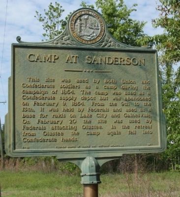
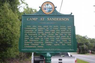
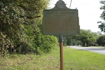
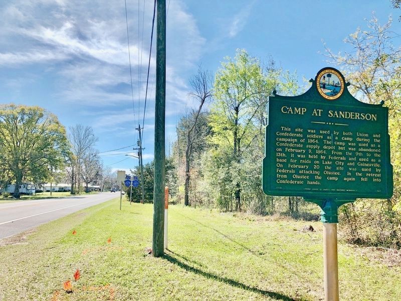
Camp at Sanderson
Erected 1961 by Florida Board of Parks and Historic Memorials. (Marker Number F-18.)
Topics. This historical marker is listed in this topic list: War, US Civil. A significant historical date for this entry is February 9, 1864.
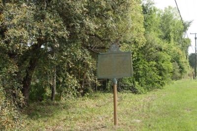
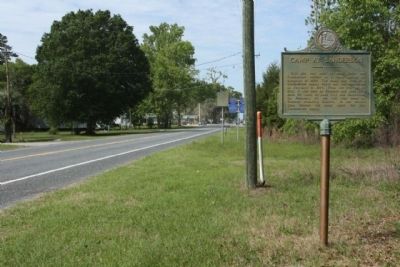
Location. 30° 15.057′ N, 82° 16.157′ W. Marker is in Sanderson, Florida, in Baker County. Marker is on U.S. 90, on the right when traveling west. Located between Thomas Sweat Road and Pine Street (County Road 127). Touch for map. Marker is in this post office area: Sanderson FL 32087, United States of America. Touch for directions.
Other nearby markers. At least 8 other markers are within 8 miles of this marker, measured as the crow flies. Fight or Die (approx. 7˝ miles away); The Battle of Olustee (approx. 7.6 miles away); Battle of Ocean Pond (or The Battle of Olustee) (approx. 7.6 miles away); Brig. Gen. Joseph Finegan (approx. 7.6 miles away); The Yankees are Coming (approx. 7.6 miles away); Olustee Battlefield (approx. 7.6 miles away); The Battle Intensifies (approx. 7.6 miles away); A Legacy Remembered (approx. 7.6 miles away).
Also see . . . The Battle of Olustee. ...The Federals advanced in three columns along the Lake City and Jacksonville Road, which ran roughly parallel to the Florida Atlantic and Gulf-Central Railroad. The Federal cavalry was in the vanguard, followed by the slower-moving infantry.... (Submitted on April 18, 2012, by Mike Stroud of Bluffton, South Carolina.)
Additional commentary.
1. The Beginning of the End
The Confederate states began relying heavily on Florida's farmers to furnish beef, pork, beans, potatoes, and salt to sustain its military forces. The Union's attempt to restore Florida to the Union and to cut off these vital supplies, leads here on the afternoon of February 20, 1864, to the Battle of Olustee.
— Submitted April 18, 2012, by Mike Stroud of Bluffton, South Carolina.
Credits. This page was last revised on March 7, 2020. It was originally submitted on April 18, 2012, by Mike Stroud of Bluffton, South Carolina. This page has been viewed 1,262 times since then and 42 times this year. Photos: 1. submitted on April 18, 2012, by Mike Stroud of Bluffton, South Carolina. 2. submitted on May 2, 2016, by Tim Fillmon of Webster, Florida. 3, 4, 5, 6. submitted on April 18, 2012, by Mike Stroud of Bluffton, South Carolina. 7. submitted on March 7, 2020, by Mark Hilton of Montgomery, Alabama.
