Near Sharpsburg in Washington County, Maryland — The American Northeast (Mid-Atlantic)
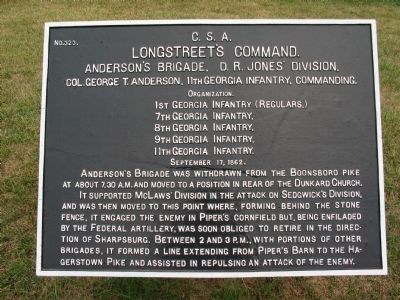
Longstreet's Command
Anderson's Brigade, D.R. Jones' Division
Longstreet's Command
Anderson's Brigade, D.R. Jones' Division
Col. George T. Anderson, 11th Georgia Infantry, Commanding
Organization
1st Georgia Infantry (Regulars)
7th Georgia Infantry
8th Georgia Infantry
9th Georgia Infantry
11th Georgia Infantry
September 17, 1862
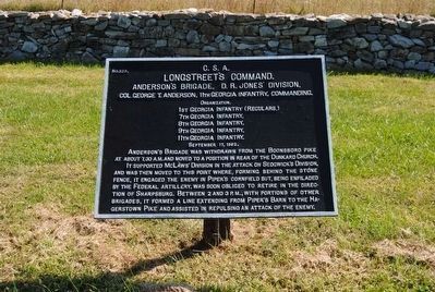
Anderson's Brigade was withdrawn from the Boonsboro Pike at about 7:30 A.M. and moved to a position in rear of the Dunkard Church.
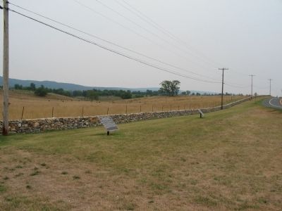
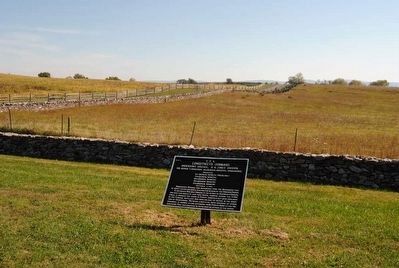
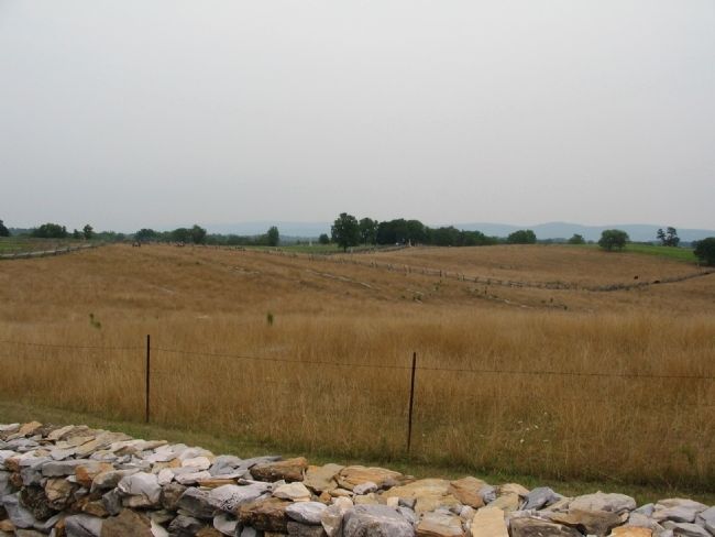
It supported McLaws' Division in the attack on Sedgwick's Division, and was then moved to this point where, forming behind the stone fence, it engaged the enemy in Piper's Cornfield but, being enfiladed by the Federal Artillery, was soon obliged to retire in the direction of Sharpsburg. Between 2 and 3 P.M., with portions of other Brigades, it formed a line extending from Piper's Barn to the Hagerstown Pike and assisted in repulsing an attack of the enemy.
Erected by Antietam Battlefield Board. (Marker Number 323.)
Topics and series. This historical marker is listed in this topic list: War, US Civil. In addition, it is included in the Antietam Campaign War Department Markers series list. A significant historical date for this entry is September 17, 1862.
Location. 39° 28.236′ N, 77° 44.713′ W. Marker is near Sharpsburg, Maryland, in Washington County. Marker is at the intersection of Hagerstown Pike (State Highway 65) and Richardson Avenue, on the right when traveling north on Hagerstown Pike. Touch for map. Marker is in this post office area: Sharpsburg MD 21782, United States of America. Touch for directions.
Other nearby markers. At least 10 other markers are within walking distance of this marker. A different marker also named Longstreet's Command (a few steps from this marker); D.H. Hill's Division, Jackson's Command (about 300 feet away, measured in a direct line); a different marker also named Longstreet's Command (about 400 feet away); Colquitt's and Garland's Brigades (about 500 feet away); Old Vermont Brigade (approx. 0.2 miles away); A.N.V. (approx. 0.2 miles away); Couch's Division, Fourth Army Corps (approx. 0.2 miles away); Sixth Army Corps (approx. 0.2 miles away); 1st Delaware Volunteers (approx. 0.2 miles away); O.T. Reilly Monument (approx. 0.2 miles away). Touch for a list and map of all markers in Sharpsburg.
Also see . . .
1. Antietam Battlefield. National Park Service site. (Submitted on February 17, 2008, by Craig Swain of Leesburg, Virginia.)
2. Anderson's (GA) Brigade. (Submitted on February 17, 2008, by Craig Swain of Leesburg, Virginia.)
Credits. This page was last revised on October 25, 2017. It was originally submitted on February 17, 2008, by Craig Swain of Leesburg, Virginia. This page has been viewed 872 times since then and 21 times this year. Photos: 1. submitted on February 17, 2008, by Craig Swain of Leesburg, Virginia. 2. submitted on September 24, 2015, by Brian Scott of Anderson, South Carolina. 3. submitted on February 17, 2008, by Craig Swain of Leesburg, Virginia. 4. submitted on September 24, 2015, by Brian Scott of Anderson, South Carolina. 5. submitted on February 17, 2008, by Craig Swain of Leesburg, Virginia.
