Near Sharpsburg in Washington County, Maryland — The American Northeast (Mid-Atlantic)
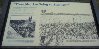
"These Men Are Going to Stay Here"
"These men are going to stay here, General, till the sun goes down or victory is won!"
Years later he wrote:
"Alas! Many of the brave fellows are there now."
"In this road there lay so many dead rebels that they formed a line which one might have walked upon as far as I could see. They lay just as they had been killed apparently, amid the blood which was soaking the earth."
Topics. This historical marker is listed in this topic list: War, US Civil.
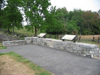
Location. This marker has been replaced by another marker nearby. 39° 28.259′ N, 77° 44.364′ W. Marker is near Sharpsburg, Maryland, in Washington County. Marker is on Richardson Avenue, on the left when traveling east. Located at the Sunken Road overlook stop. Touch for map. Marker is in this post office area: Sharpsburg MD 21782, United States of America. Touch for directions.
Other nearby markers. At least 8 other markers are within walking distance of this location. A Simple Farm Lane Changed Forever (here, next to this marker); Heaps Upon Heaps Were There in Death's Embrace (here, next to this marker); "The End of the Confederacy Was In Sight" (here, next to this marker); The 14th Indiana Infantry (within shouting distance of this marker); 8th Ohio Regiment (within shouting distance of this marker); 132nd Pennsylvania Volunteer Infantry (within shouting distance of this marker); Second Army Corps (about 300 feet away, measured in a direct line); Jackson's Command (about 300 feet away). Touch for a list and map of all markers in Sharpsburg.
More about this marker. On the right side of the marker is a depiction of the Confederate defense of the Sunken Road, "Soldiers of the Union Second Corps appeared at the top of the ridge. Men from Delaware, Maryland, and New York looked down at men from Georgia, Alabama, and North Carolina."
On the left is an Alexander Gardner photograph of the road, taken on September 19, 1862.
Regarding "These Men Are Going to Stay Here". This marker is included on the Sunken Road or Bloody Lane Virtual Tour by Markers see the Virtual tour link below to see the markers in sequence.
This marker was replaced by one named A Simple Farm Lane Changed Forever (See nearby markers).
Also see . . . Antietam Battlefield. National Park Service site. (Submitted on February 18, 2008, by Craig Swain of Leesburg, Virginia.)
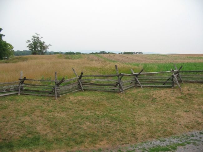
Photographed By Craig Swain, August 5, 2007
3. Federal Advance
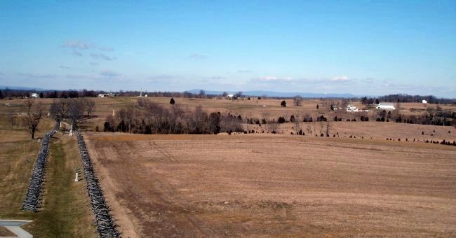
From the overlook, the high ground the Federals crested is in the distance. The Roulette Farm Lane runs on the left side of the photograph. In the Sunken Road, the Confederates had the advantage of cover, but were at a slight disadvantage in elevation.
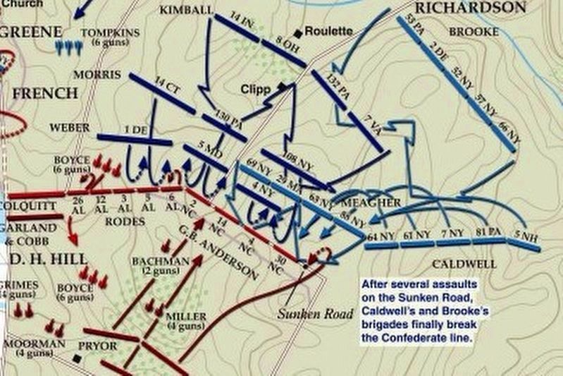
via American Battlefield Trust, unknown
5. Sunken Road or Bloody Lane Virtual Tour by Markers.
A collection of markers interpreting the action of during the Battle of Antietam around the Sunken Road.
(Submitted on February 23, 2008, by Craig Swain of Leesburg, Virginia.)
Click for more information.
(Submitted on February 23, 2008, by Craig Swain of Leesburg, Virginia.)
Click for more information.
Credits. This page was last revised on April 3, 2022. It was originally submitted on February 18, 2008, by Craig Swain of Leesburg, Virginia. This page has been viewed 1,158 times since then and 20 times this year. Photos: 1, 2, 3. submitted on February 18, 2008, by Craig Swain of Leesburg, Virginia. 4. submitted on March 20, 2008. 5. submitted on April 3, 2022, by Larry Gertner of New York, New York.
