Potomac in Montgomery County, Maryland — The American Northeast (Mid-Atlantic)
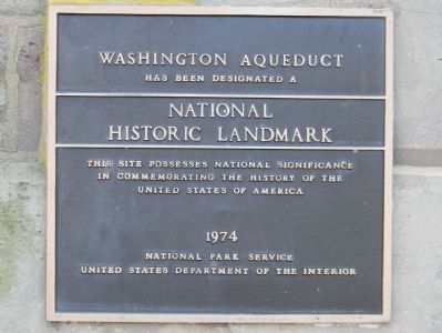
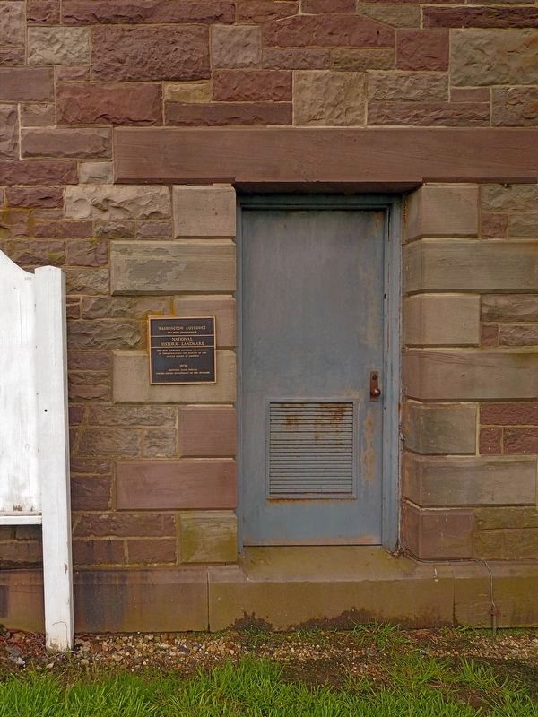
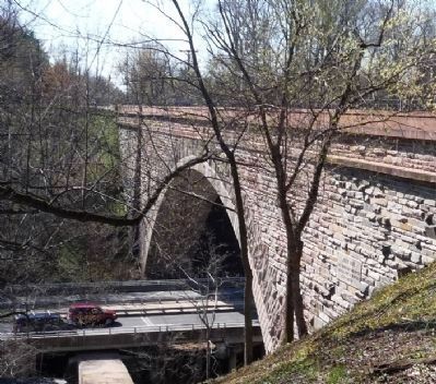
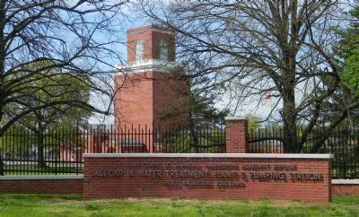
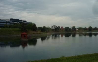
Washington Aqueduct
has been designated a
National Historic Landmark
This site possesses national significance
in commemorating the history of the
United States of America
1974
National Park Service
United States Department of the Interior
Erected 1974 by National Park Service, United States Department of the Interior.
Topics and series. This historical marker is listed in these topic lists: Bridges & Viaducts • Landmarks • Waterways & Vessels. In addition, it is included in the National Historic Landmarks series list. A significant historical year for this entry is 1974.
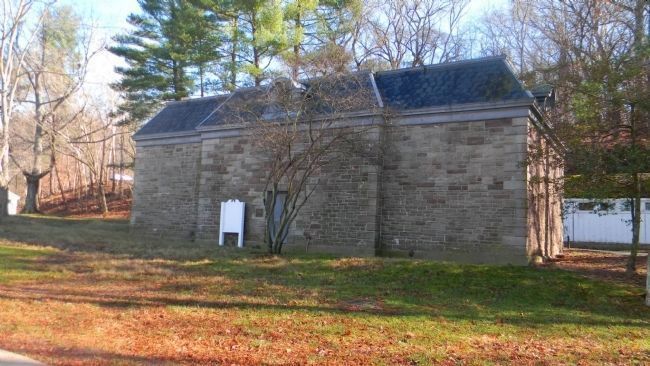
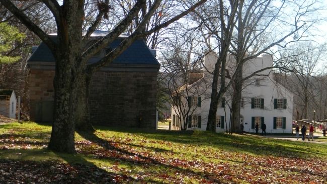
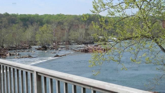
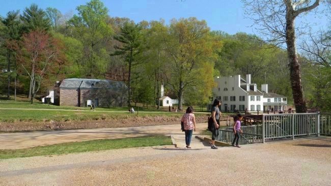
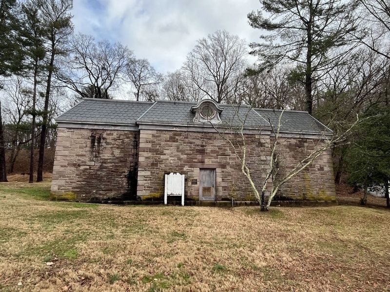
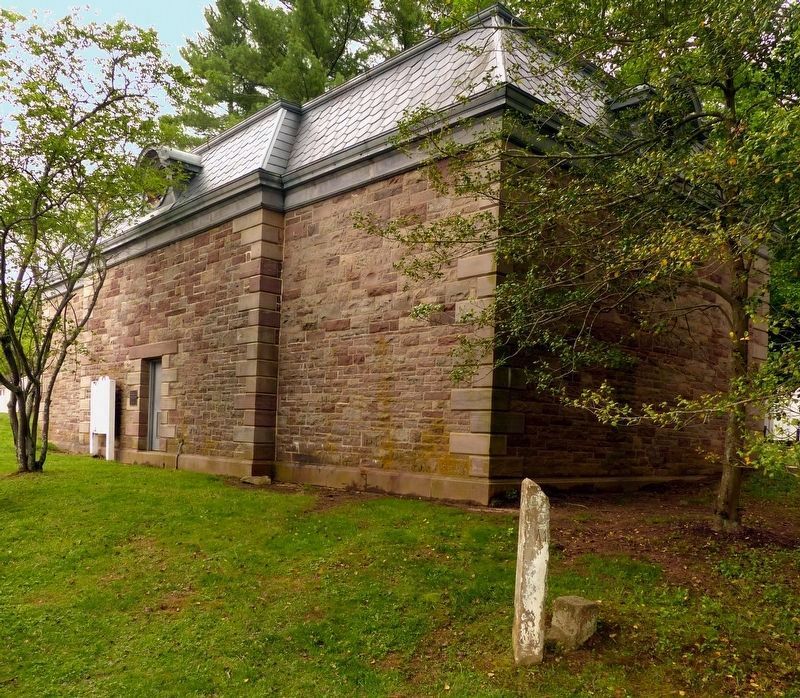
Location. 39° 0.035′ N, 77° 14.873′ W. Marker is in Potomac, Maryland, in Montgomery County. Marker can be reached from MacArthur Blvd/Great Falls Road Climb east of the C&O Canal Towpath when traveling south. Marker is on the west face of the Washington Aqueduct Pump House, inside the Chesapeake and Ohio Canal National Historical Park, off the walkway to the Great Falls Tavern [the park visitors center and museum] and the C&O Canal - all of which are south of the visitors parking lot and east of the C&O canal ditch, its towpath and the adjacent aqueduct diversion dam. Touch for map. Marker is at or near this postal address: 11710 MacArthur Blvd, Potomac MD 20854, United States of America. Touch for directions.
Other nearby markers. At least 8 other markers are within walking distance of this marker. Welcome to Great Falls (within shouting distance of this marker); Great Falls Tavern (within shouting distance of this marker); a different marker also named Great Falls Tavern (within shouting distance of this marker); Creating a National Park (about 600 feet away, measured in a direct line); A Geologic Barrier (approx. 0.2 miles away); Fighting Floods (approx. 0.2 miles away); Olmsted Island (approx. 0.3 miles away); People and the Potomac (approx. 0.4 miles away in Virginia). Touch for a list and map of all markers in Potomac.
Related markers. Click here for a list of markers that are related to this marker. To better understand the relationship, study each marker in the order shown.
Also see . . .
1. Washington Aqueduct. National Park Service website entry (Submitted on November 27, 2011, by Richard E. Miller of Oxon Hill, Maryland.)
2. The McMillan Sand Filtration Site. Left for LeDroit website entry (Submitted on April 29, 2012, by Richard E. Miller of Oxon Hill, Maryland.)
Additional keywords. Chesapeake and Ohio Canal National Historical Park; Great Falls Tavern; U.S. Army Corps of Engineers; Washington City Tunnel.
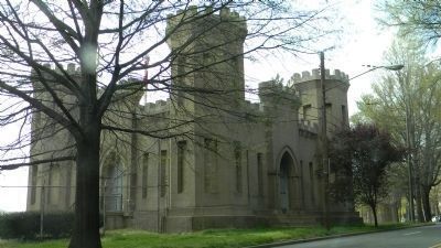
Photographed By Richard E. Miller, March 31, 2012
12. Washington Aqueduct: "Castle Gatehouse" / Georgetown Reservoir Pumping Station
Designed to represent the insignia of the U.S. Corps of Engineers ... the gatehouse was constructed at the Georgetown Reservoir to pump water into the four-mile long Washington City Tunnel that led to McMillan Reservoir
Credits. This page was last revised on January 11, 2024. It was originally submitted on November 27, 2011, by Richard E. Miller of Oxon Hill, Maryland. This page has been viewed 994 times since then and 26 times this year. Last updated on April 29, 2012, by Richard E. Miller of Oxon Hill, Maryland. Photos: 1, 2. submitted on November 27, 2011, by Richard E. Miller of Oxon Hill, Maryland. 3. submitted on November 30, 2011, by Richard E. Miller of Oxon Hill, Maryland. 4, 5. submitted on April 2, 2012, by Richard E. Miller of Oxon Hill, Maryland. 6. submitted on April 27, 2017, by Allen C. Browne of Silver Spring, Maryland. 7. submitted on December 28, 2023, by Adam Margolis of Mission Viejo, California. 8, 9. submitted on April 27, 2017, by Allen C. Browne of Silver Spring, Maryland. 10, 11, 12, 13. submitted on April 29, 2012, by Richard E. Miller of Oxon Hill, Maryland. • Bill Pfingsten was the editor who published this page.
