Belding in Ionia County, Michigan — The American Midwest (Great Lakes)
White's Bridge
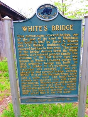
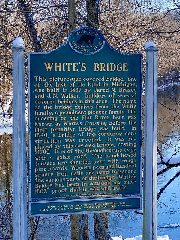
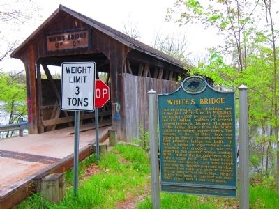
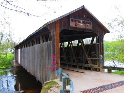
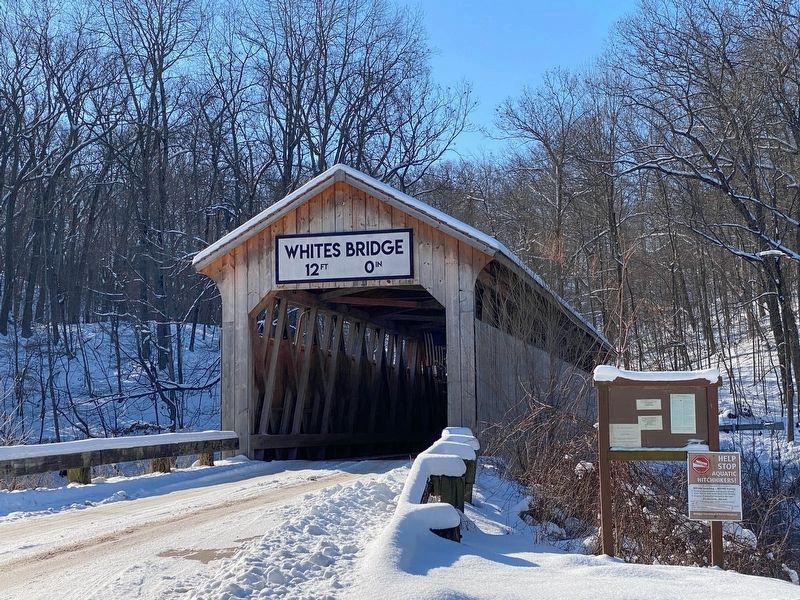
This picturesque covered bridge, one of the last of its kind in Michigan, was built in 1867 by Jared N. Brazee and J.N. Walker, builders of several covered bridges in this area. The name of the bridge derives from the White family, a prominent pioneer family. The crossing of the Flat River here was known an White's Crossing before the first primitive bridge was built. In 1840, a bridge of log corduroy construction was erected. It was replaced by this covered bridge, costing $1700. It is of the through-truss type with a gable roof. The hand-hewn trusses are sheeted over with rough pine boards. Wooden pegs and handcut square iron nails are used to secure the various parts of the bridge. White's Bridge has been in constant use since 1867, proof that it was well made.
Erected 1965 by Ionia County Road Commission. (Marker Number 42.)
Topics and series. This historical marker is listed in this topic list: Bridges & Viaducts. In addition, it is included in the Covered Bridges, and the Michigan Historical Commission series lists. A significant historical year for this entry is 1867.
Location. 43° 0.859′ N, 85° 17.881′ W. Marker is in Belding, Michigan, in Ionia County. Marker is on North Whites Bridge Road, one mile north of Richmond Road, on the right when traveling north. Touch for map. Marker is at or near this postal address: 1600 N Whites Bridge Rd, Belding MI 48809, United States of America. Touch for directions.
Other nearby markers. At least 8 other markers are within 3 miles of this marker, measured as the crow flies. Fallasburg School (approx. 2˝ miles away); Vergennes District No. 1 Alton School (approx. 2˝ miles away); Fallasburg Pioneer Village (approx. 2˝ miles away); John Wesley Fallas House / John W. Fallas (approx. 2.7 miles away); Alton Veteran Memorial (approx. 2.7 miles away); Alton Pioneer Village (approx. 2.7 miles away); Fallasburg Covered Bridge (approx. 2.8 miles away); Moseley School (approx. 2.9 miles away).
Also see . . . White's Bridge. Wikipedia entry (Submitted on May 11, 2012, by Cameron Zwart of Belding, Michigan.)
Additional commentary.
1. Replica
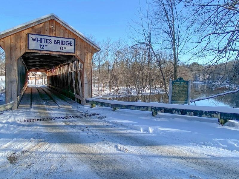
The bridge was completely destroyed by fire on the morning of July 7, 2013 (police deemed the case arson). In July 2016, approval was granted for rebuilding a replica bridge, which was completed in April 2020. - Wikipedia
— Submitted February 12, 2023, by J.T. Lambrou of New Boston, Michigan.
Credits. This page was last revised on February 12, 2023. It was originally submitted on May 11, 2012, by Cameron Zwart of Belding, Michigan. This page has been viewed 1,254 times since then and 195 times this year. Photos: 1. submitted on May 11, 2012, by Cameron Zwart of Belding, Michigan. 2. submitted on February 12, 2023, by J.T. Lambrou of New Boston, Michigan. 3. submitted on May 11, 2012, by Cameron Zwart of Belding, Michigan. 4. submitted on February 12, 2023, by J.T. Lambrou of New Boston, Michigan. 5. submitted on May 11, 2012, by Cameron Zwart of Belding, Michigan. 6. submitted on February 12, 2023, by J.T. Lambrou of New Boston, Michigan. • Bernard Fisher was the editor who published this page.
