Near Saranac in Ionia County, Michigan — The American Midwest (Great Lakes)
The Roadside Table
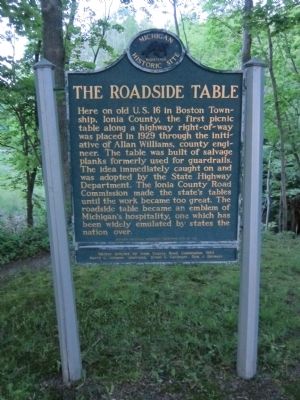
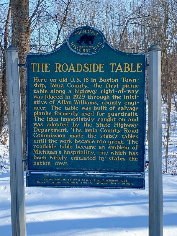
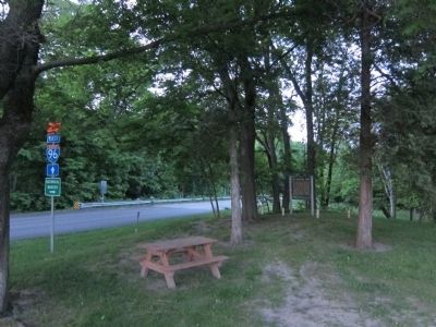
Here on old U.S. 16 in Boston Township, Ionia County, the first picnic table along a highway right-of-way was placed in 1929 through the initiative of Allan Williams, county engineer. The table was built of salvage planks formerly used as guardrails. The idea immediately caught on and was adopted by the State Highway Department. The Ionia County Road Commission made the state's tables until the work became too great. The roadside table became an emblem of Michigan's hospitality, one which has been widely emulated by states the nation over.
Erected 1964 by Ionia County Road Commission. (Marker Number 253.)
Topics and series. This historical marker is listed in this topic list: Roads & Vehicles. In addition, it is included in the Michigan Historical Commission series list. A significant historical year for this entry is 1929.
Location. 42° 53.207′ N, 85° 12.711′ W. Marker is near Saranac, Michigan, in Ionia County. Marker is on West Grand River Avenue, 0.1 miles east of Morrison Lake Road, on the right when traveling east. Located in a small roadside park. Touch for map. Marker is at or near this postal address: 6901 West Grand River Avenue, Saranac MI 48881, United States of America. Touch for directions.
Other nearby markers. At least 8 other markers are within 8 miles of this marker, measured as the crow flies. Saranac (approx. 3.2 miles away); Sessions School House (approx. 6.2 miles away); Hotels (approx. 7.1 miles away); City Hall Block (approx. 7.1 miles away); Old Wooden Row (approx. 7.1 miles away); Negonce Block and Bank Block (approx. 7.2 miles away); Lowell Area Veterans Memorial (approx. 7.2 miles away); Lowell Veterans Memorial (approx. 7.2 miles away). Touch for a list and map of all markers in Saranac.
Also see . . .
1. Ionia County boasts first roadside picnic table, one of West Michigan's hidden gems. The Grand Rapids Press (Submitted on May 11, 2012, by Cameron Zwart of Belding, Michigan.)
2. U.S. Route 16 in Michigan. Wikipedia (Submitted on May 11, 2012, by Cameron Zwart of Belding, Michigan.)
3. National Firsts. Michigan Department of Transportation (Submitted on May 11, 2012, by Cameron Zwart of Belding, Michigan.)
Credits. This page was last revised on February 12, 2023. It was originally submitted on May 11, 2012, by Cameron Zwart of Belding, Michigan. This page has been viewed 1,229 times since then and 82 times this year. Photos: 1. submitted on May 11, 2012, by Cameron Zwart of Belding, Michigan. 2. submitted on February 12, 2023, by J.T. Lambrou of New Boston, Michigan. 3. submitted on May 25, 2012, by Cameron Zwart of Belding, Michigan. • Bernard Fisher was the editor who published this page.


